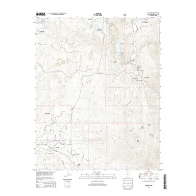
2013 Map of Cundiyo
USGS Topo · Published 2013About this map
The ancient cultural landscape of Nambe Pueblo and the surrounding high-desert valleys are defined by an intricate network of acequias and watercourses. Irrigation lifeblood such as the La Puebla Ditch, Potrero Ditch, and Reservoir Ditch channel water from the Santa Cruz River and Rio Quemado to support local agriculture. The topography is anchored by the presence of Santa Cruz Lake, with several recreational facilities like the Northlake Campground and Overlook Campground along its shores.
Find a feature on this map
69 named features on this map. Tap any name to fly to it.
Don’t see what you’re looking for? This feature index may not catch every label — zoom into the map to look around manually.
Map Details
Editions of this 2013 Cundiyo Map
This is the sole edition of this map. No revisions or reprints were ever made.
Other maps of this area

1889 · Santa Fe
USGS Topo · 1:125,000

1892 · Santa Clara
USGS Topo · 1:125,000

1894 · Santa Fe
USGS Topo · 1:125,000

1918 · Abiquiu
USGS Topo · 1:125,000

1953 · Tesuque
USGS Topo · 1:24,000

1953 · Espanola
USGS Topo · 1:24,000

1953 · San Juan Pueblo
USGS Topo · 1:24,000

1953 · Horcado Ranch
USGS Topo · 1:24,000

1953 · Truchas
USGS Topo · 1:24,000

1953 · Sierra Mosca
USGS Topo · 1:24,000