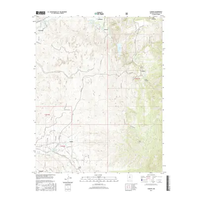
2017 Map of Cundiyo
USGS Topo · Published 2017About this map
Chimayo and Potrero sit at the northern edge of this high-desert landscape, where traditional irrigation infrastructure like the Potrero Ditch and La Puebla Ditch still draws from the Santa Cruz River. The terrain is defined by deep drainages and canyons, including Cañon Chimayo and Canon Escondido, which dictate the winding paths of rural routes like Cundiyo Rd. To the south, the settlement of Nambe serves as a hub near the Nambe Dairy Area, illustrating the region's agricultural roots.
Find a feature on this map
65 named features on this map. Tap any name to fly to it.
Don’t see what you’re looking for? This feature index may not catch every label — zoom into the map to look around manually.
Map Details
Editions of this 2017 Cundiyo Map
This is the sole edition of this map. No revisions or reprints were ever made.
Other maps of this area

1889 · Santa Fe
USGS Topo · 1:125,000

1892 · Santa Clara
USGS Topo · 1:125,000

1894 · Santa Fe
USGS Topo · 1:125,000

1918 · Abiquiu
USGS Topo · 1:125,000

1953 · Tesuque
USGS Topo · 1:24,000

1953 · Espanola
USGS Topo · 1:24,000

1953 · San Juan Pueblo
USGS Topo · 1:24,000

1953 · Horcado Ranch
USGS Topo · 1:24,000

1953 · Truchas
USGS Topo · 1:24,000

1953 · Sierra Mosca
USGS Topo · 1:24,000