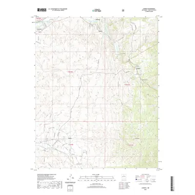
2020 Map of Cundiyo
USGS Topo · Published 2020About this map
Potrero and the neighboring village of Chimayo sit at the northern edge of this high-desert landscape, where the Santa Cruz River is joined by the Arroyo de la Morada. The traditional irrigation network is visible through labels like the La Puebla Ditch and Reservoir Ditch, systems that have sustained these valleys for generations. To the east, the settlement of Cundiyo is positioned near the confluence of the Rio Quemado, Rio Medio, and Rio Chiquito, a vital water junction in the arid terrain.
Find a feature on this map
62 named features on this map. Tap any name to fly to it.
Don’t see what you’re looking for? This feature index may not catch every label — zoom into the map to look around manually.
Map Details
Editions of this 2020 Cundiyo Map
This is the sole edition of this map. No revisions or reprints were ever made.
Other maps of this area

1889 · Santa Fe
USGS Topo · 1:125,000

1892 · Santa Clara
USGS Topo · 1:125,000

1894 · Santa Fe
USGS Topo · 1:125,000

1918 · Abiquiu
USGS Topo · 1:125,000

1953 · Tesuque
USGS Topo · 1:24,000

1953 · Espanola
USGS Topo · 1:24,000

1953 · San Juan Pueblo
USGS Topo · 1:24,000

1953 · Horcado Ranch
USGS Topo · 1:24,000

1953 · Truchas
USGS Topo · 1:24,000

1953 · Sierra Mosca
USGS Topo · 1:24,000