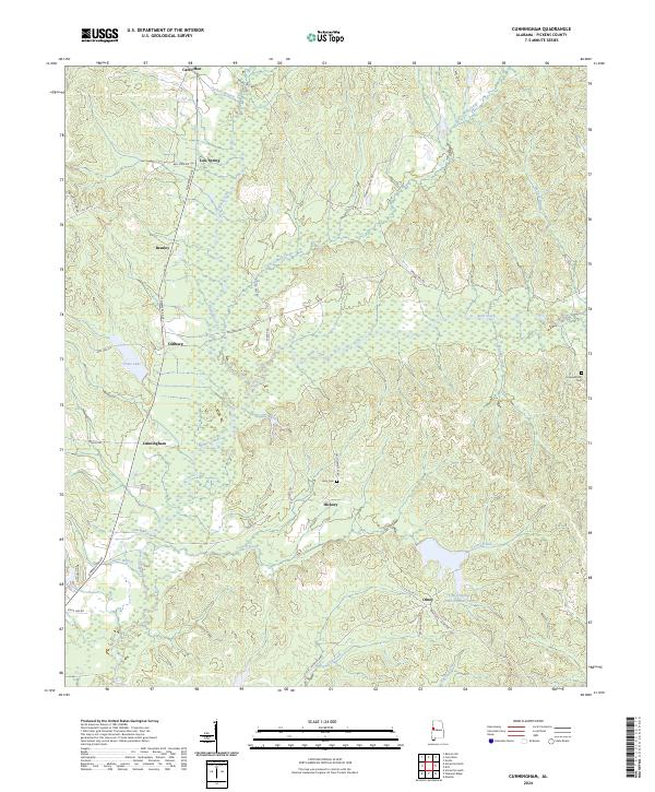
2024 Map of Cunningham
USGS Topo · Published 2024About this map
Lubbub Creek and its various branches, including Little Lubbub Creek and Puckett Branch, form the primary drainage system through this rural Pickens County landscape. The terrain is defined by a dense network of secondary roads and small, established communities that reflect the area's agricultural and social history. Settlements like Cunningham, Dillburg, and Hickory are distributed along the ridges, while family and community markers such as Hopewell Hill Cem and Unity Cem offer vital clues for genealogical research.
Find a feature on this map
47 named features on this map. Tap any name to fly to it.
Don’t see what you’re looking for? This feature index may not catch every label — zoom into the map to look around manually.
Map Details
Editions of this 2024 Cunningham Map
This is the sole edition of this map. No revisions or reprints were ever made.
Other maps of this area

1953 · Birmingham
USGS Topo · 1:250,000

1953 · West Point
USGS Topo · 1:250,000

1956 · Birmingham
USGS Topo · 1:250,000

1957 · Birmingham
USGS Topo · 1:250,000

1958 · West Point
USGS Topo · 1:250,000

1963 · West Point
USGS Topo · 1:250,000

1966 · Reform SW
USGS Topo · 1:24,000

1967 · Carrollton
USGS Topo · 1:24,000

1967 · Gordo
USGS Topo · 1:24,000
1970 · Kirk
USGS Topo · 1:24,000