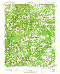
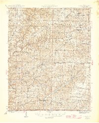
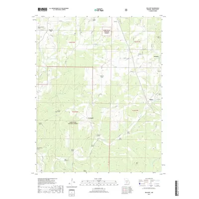
1944 Map of Cureall
USGS Topo · Published 1967About this map
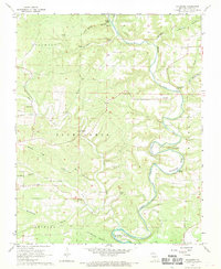
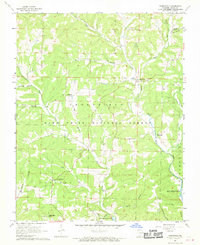
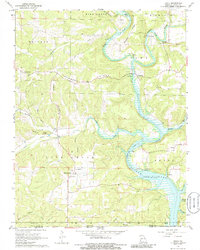
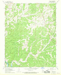
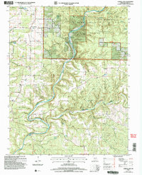
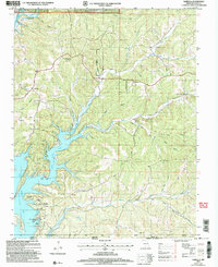
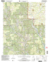
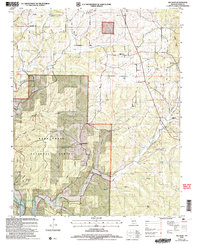
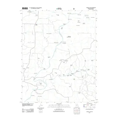
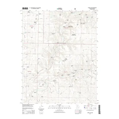
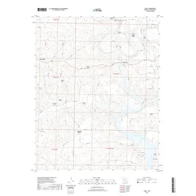
Bakersfield and Pottersville anchor this mid-1940s landscape in the Ozarks, where the topography is defined by the complex drainage of Spring Creek and the various branches of North Fork Bayou Bridges Creek. This area shows a high density of small rural community centers, each typically supported by a church, school, and cemetery, such as the cluster around Cureall and Elijah. The presence of the Alice Mine and Breakup Mill indicates a local economy still tied to the extraction of resources and small-scale milling.
Find a feature on this map
127 named features on this map. Tap any name to fly to it.
Don’t see what you’re looking for? This feature index may not catch every label — zoom into the map to look around manually.
Map Details
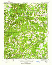
Editions of this 1944 Cureall Map
2 editions found
Historical Maps of Bakersfield Through Time
44 maps found

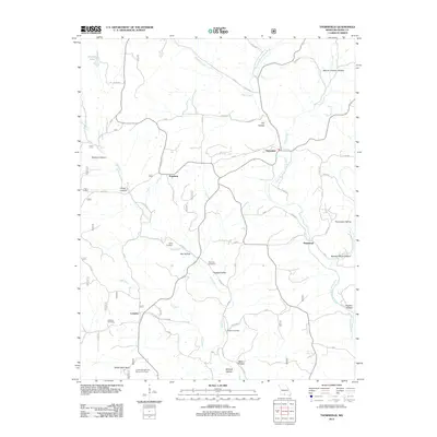
1936 Thornfield
Ozark County, MO
1943 Thornfield
Ozark County, MO
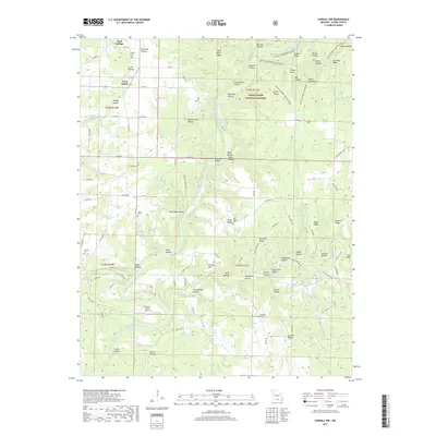
1944 Cureall
Ozark County, MO
1945 Thornfield
Ozark County, MO
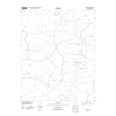
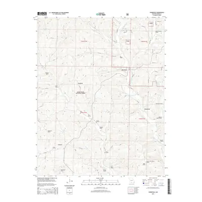
1946 Cureall
Ozark County, MO
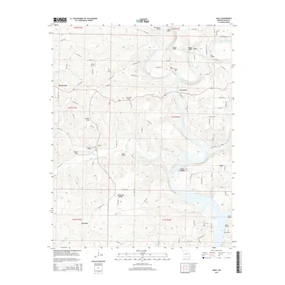
1968 Cureall NW
Ozark County, MO
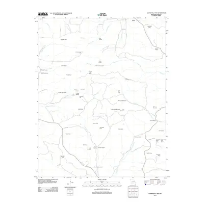
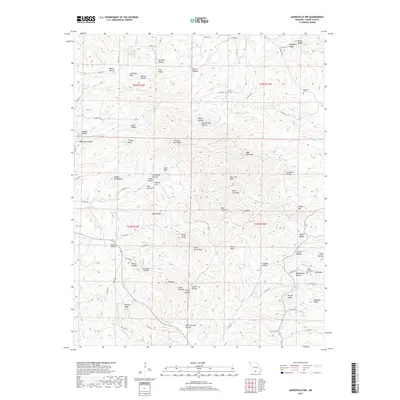
1968 Gainesville NW
Ozark County, MO
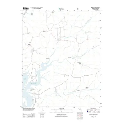
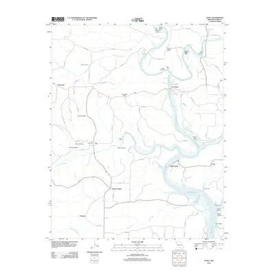
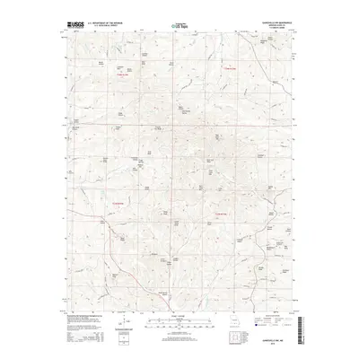
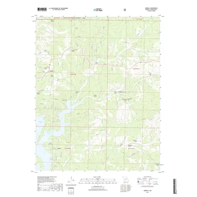
1968 Isabella
Ozark County, MO
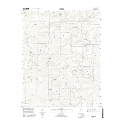
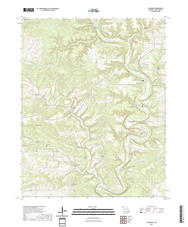
1968 Sycamore
Ozark County, MO
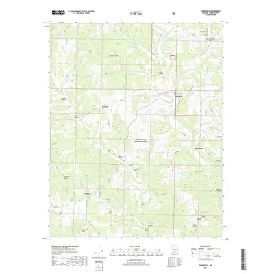
1968 Thornfield
Ozark County, MO
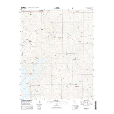
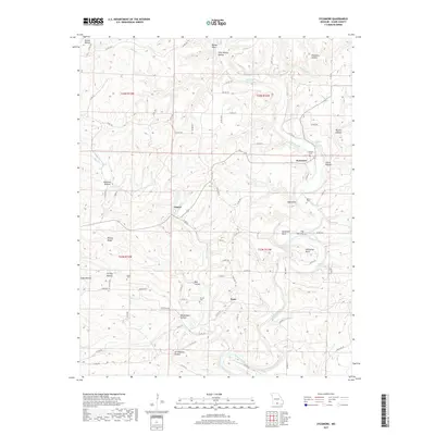
1968 Udall
Ozark County, MO
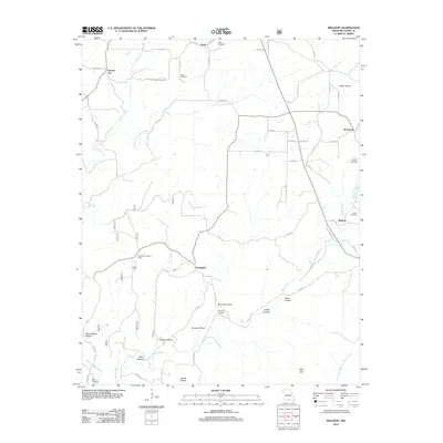
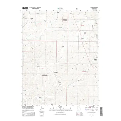
1968 Willhoit
Ozark County, MO
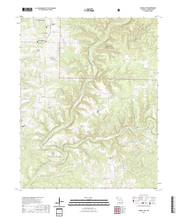
2004 Cureall NW
Ozark County, MO
2004 Isabella
Ozark County, MO
2004 Thornfield
Ozark County, MO
2004 Willhoit
Ozark County, MO
2012 Cureall NW
Ozark County, MO
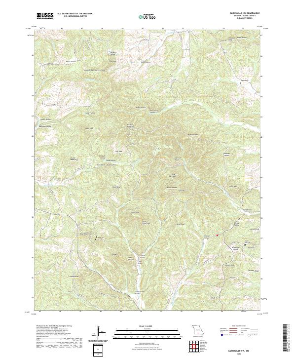
2012 Gainesville NW
Ozark County, MO
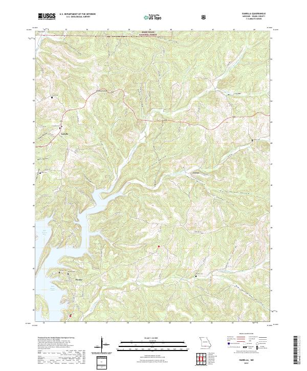
2012 Isabella
Ozark County, MO
2012 Sycamore
Ozark County, MO
2012 Thornfield
Ozark County, MO
2012 Udall
Ozark County, MO
2012 Willhoit
Ozark County, MO
2015 Cureall NW
Ozark County, MO
2015 Gainesville NW
Ozark County, MO
2015 Isabella
Ozark County, MO
2015 Sycamore
Ozark County, MO
2015 Thornfield
Ozark County, MO
2015 Udall
Ozark County, MO
2015 Willhoit
Ozark County, MO
2017 Cureall NW
Ozark County, MO
2017 Gainesville NW
Ozark County, MO
2017 Isabella
Ozark County, MO
2017 Sycamore
Ozark County, MO
2017 Thornfield
Ozark County, MO
2017 Udall
Ozark County, MO
2017 Willhoit
Ozark County, MO
2021 Cureall NW
Ozark County, MO
2021 Gainesville NW
Ozark County, MO
2021 Isabella
Ozark County, MO
2021 Sycamore
Ozark County, MO
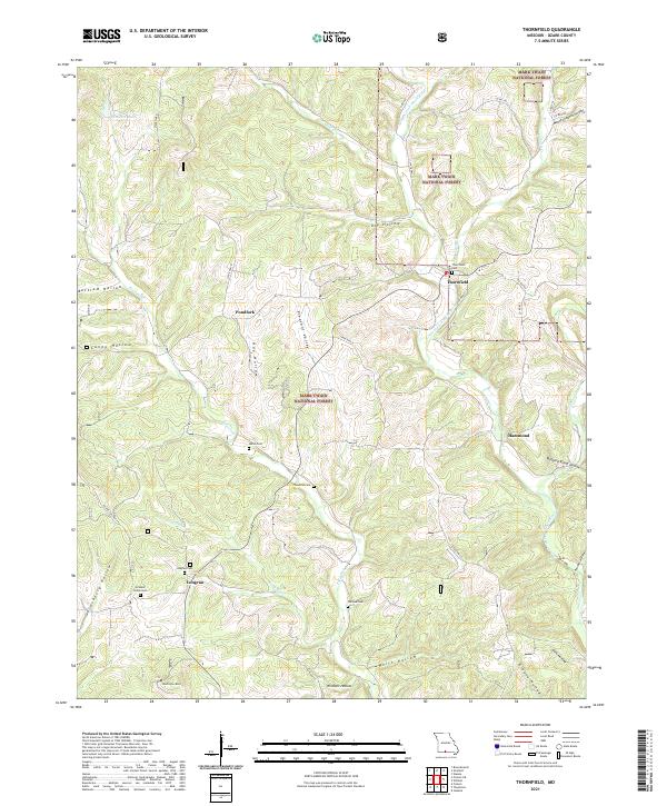
2021 Thornfield
Ozark County, MO
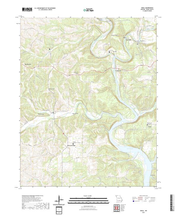
2021 Udall
Ozark County, MO
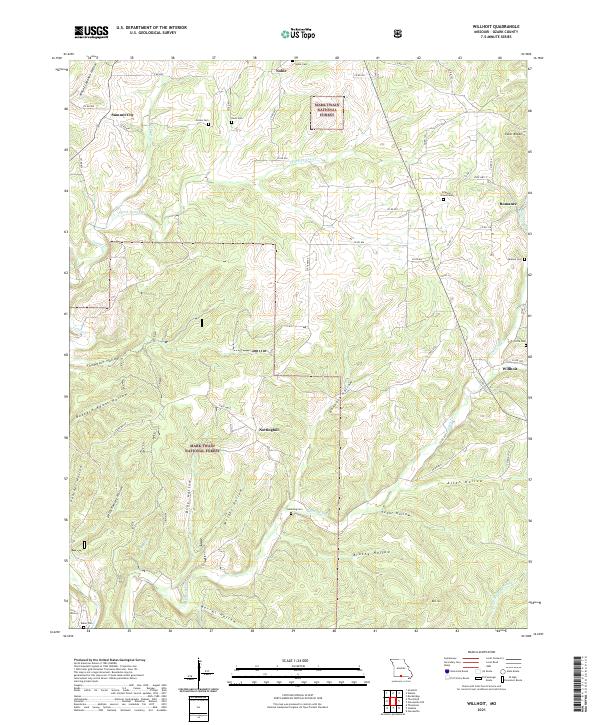
2021 Willhoit
Ozark County, MO