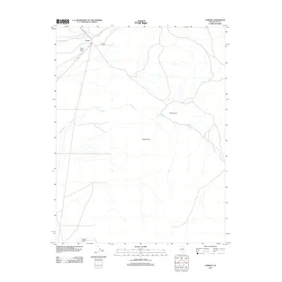
2012 Map of Currant
USGS Topo · Published 2012About this map
Currant serves as the focal point of this Nye County landscape, where the confluence of high-desert ranching and modern transportation is evident. The small settlement is anchored by the Currant Ranch Airport, highlighting the necessity of air travel in this expansive region of Nevada. The drainage of Currant Creek and the long course of The Big Wash define the hydrology of the area, cutting through a topography marked by Red Mountain and the prominent Ragged Ridge. To the northeast, the Callaway Ranch indicates the continued importance of livestock and land management in the Great Basin. In the southern reaches, the geography transitions toward Johnson Canyon and the isolated Blind Spring, reflecting a landscape where water sources dictate the patterns of human activity and settlement.
Find a feature on this map
9 named features on this map. Tap any name to fly to it.
Don’t see what you’re looking for? This feature index may not catch every label — zoom into the map to look around manually.
Map Details
Editions of this 2012 Currant Map
This is the sole edition of this map. No revisions or reprints were ever made.
Other maps of this area

1956 · Lund
USGS Topo · 1:250,000

1957 · Currant Mtn
USGS Topo · 1:62,500

1960 · Lund
USGS Topo · 1:250,000

1964 · Blue Eagle Springs
USGS Topo · 1:62,500

1964 · Duckwater
USGS Topo · 1:62,500

1964 · Currant
USGS Topo · 1:62,500

1964 · Currant Mtn
USGS Topo · 1:62,500

1980 · Duckwater
USGS Topo · 1:100,000
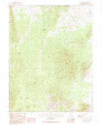
1990 · Wells Station
USGS Topo · 1:24,000
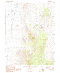
1990 · Currant
USGS Topo · 1:24,000