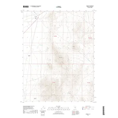
2018 Map of Currant
USGS Topo · Published 2018About this map
Currant sits at the edge of the vast Railroad Valley, where the high desert floor meets the rising peaks of the Grant Range. This 2018 topographic survey details a landscape defined by dramatic elevation changes, moving from the valley bottom up into the complex terrain of Johnson Canyon. The settlement is closely tied to the water and transport corridor of Currant Cr, which flows through the northern section of the map.
Find a feature on this map
15 named features on this map. Tap any name to fly to it.
Don’t see what you’re looking for? This feature index may not catch every label — zoom into the map to look around manually.
Map Details
Editions of this 2018 Currant Map
This is the sole edition of this map. No revisions or reprints were ever made.
Other maps of this area

1956 · Lund
USGS Topo · 1:250,000

1957 · Currant Mtn
USGS Topo · 1:62,500

1960 · Lund
USGS Topo · 1:250,000

1964 · Blue Eagle Springs
USGS Topo · 1:62,500

1964 · Duckwater
USGS Topo · 1:62,500

1964 · Currant
USGS Topo · 1:62,500

1964 · Currant Mtn
USGS Topo · 1:62,500

1980 · Duckwater
USGS Topo · 1:100,000
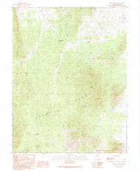
1990 · Wells Station
USGS Topo · 1:24,000
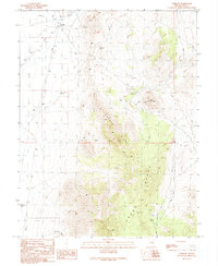
1990 · Currant
USGS Topo · 1:24,000