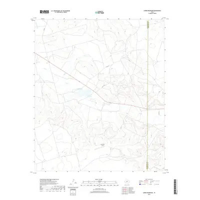
2019 Map of Currie Reservoir
USGS Topo · Published 2019About this map
Currie Reservoir sits as a central water feature in this portion of the West Texas Permian Basin, where the landscape is defined by the intermittent drainage patterns of the Lacy Creek and Fool Creek systems. The terrain reflects the region's ranching and utility character, marked by a network of rural routes such as Co Rd 307 and various private access roads. A notable point of infrastructure in this sparsely populated area is the Glass Ranch Airport, positioned south of the reservoir. The map documents the boundary between Glasscock County and Sterling County, capturing the modern configuration of land use where natural draws like E Fork Apple Creek meet the managed ranchlands of the high plains.
Find a feature on this map
11 named features on this map. Tap any name to fly to it.
Don’t see what you’re looking for? This feature index may not catch every label — zoom into the map to look around manually.
Map Details
Editions of this 2019 Currie Reservoir Map
This is the sole edition of this map. No revisions or reprints were ever made.
Other maps of this area

1954 · San Angelo
USGS Topo · 1:250,000

1958 · San Angelo
USGS Topo · 1:250,000

1963 · Glass Ranch
USGS Topo · 1:24,000

1963 · Ballinger Ranch
USGS Topo · 1:24,000

1963 · Currie Reservoir
USGS Topo · 1:24,000

1963 · Garden City NE
USGS Topo · 1:24,000
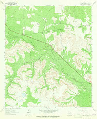
1963 · Sand Bluff Draw
USGS Topo · 1:24,000

1963 · Garden City
USGS Topo · 1:24,000

1965 · San Angelo
USGS Topo · 1:250,000

1973 · Three Bluff Draw NE
USGS Topo · 1:24,000