
1963 Map of Currie Reservoir
USGS Topo · Published 1965About this map
The West Texas landscape of the early 1960s is defined here by the intersection of ranching and the petroleum industry along the Glasscock Co Sterling Co border. Energy production is central to the area, evidenced by the Clyde Reynolds Oil Field and the Currie Oil Field, complete with specialized infrastructure like a Sludge Pit and various quarries. These industrial features sit alongside established livestock operations, most notably the Reynolds Ranch and Currie Ranch.
Find a feature on this map
14 named features on this map. Tap any name to fly to it.
Don’t see what you’re looking for? This feature index may not catch every label — zoom into the map to look around manually.
Map Details
Editions of this 1963 Currie Reservoir Map
This is the sole edition of this map. No revisions or reprints were ever made.
Other maps of this area

1954 · San Angelo
USGS Topo · 1:250,000

1958 · San Angelo
USGS Topo · 1:250,000

1963 · Glass Ranch
USGS Topo · 1:24,000

1963 · Ballinger Ranch
USGS Topo · 1:24,000

1963 · Garden City NE
USGS Topo · 1:24,000
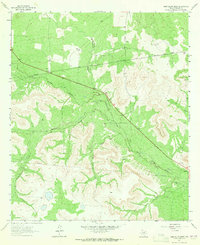
1963 · Sand Bluff Draw
USGS Topo · 1:24,000

1963 · Garden City
USGS Topo · 1:24,000

1965 · San Angelo
USGS Topo · 1:250,000

1973 · Three Bluff Draw NE
USGS Topo · 1:24,000
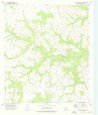
1973 · Coon Dive Draw NW
USGS Topo · 1:24,000