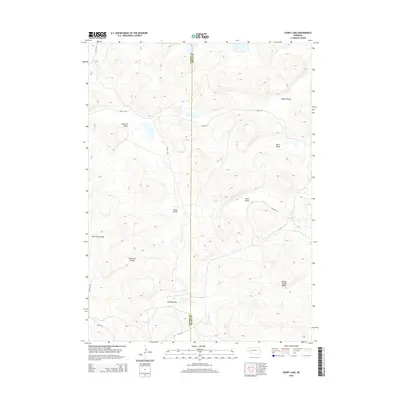
2014 Map of Curry Lake
USGS Topo · Published 2014About this map
Curry Lake and the surrounding pocket valleys of the Nebraska Sandhills define this landscape along the border of Garden and Grant counties. The terrain is characterized by a series of northwest-to-southeast trending depressions, including Anderson Valley and Julian Valley, which reveal a complex system of internal drainage and seasonal water catchments. These low-lying areas often bear the names of early settler families or local usage, such as French Valley and Leech Valley. The sparse road network, consisting of routes like S Ashby Rd and Road 209, highlights the isolation of this ranching country. The presence of features like Double Supply Valley suggests the critical importance of water resources and hay production in this semi-arid environment, where geography and survival have always been closely linked.
Find a feature on this map
16 named features on this map. Tap any name to fly to it.
Don’t see what you’re looking for? This feature index may not catch every label — zoom into the map to look around manually.
Map Details
Editions of this 2014 Curry Lake Map
This is the sole edition of this map. No revisions or reprints were ever made.
Other maps of this area

1948 · George Lake
USGS Topo · 1:62,500

1949 · Rackett
USGS Topo · 1:62,500

1950 · Velma
USGS Topo · 1:62,500

1950 · George Lake
USGS Topo · 1:62,500

1950 · Longfellow Lake
USGS Topo · 1:62,500

1951 · Rackett
USGS Topo · 1:62,500

1954 · Scottsbluff
USGS Topo · 1:250,000

1954 · North Platte
USGS Topo · 1:250,000

1956 · North Platte
USGS Topo · 1:250,000

1957 · North Platte
USGS Topo · 1:250,000