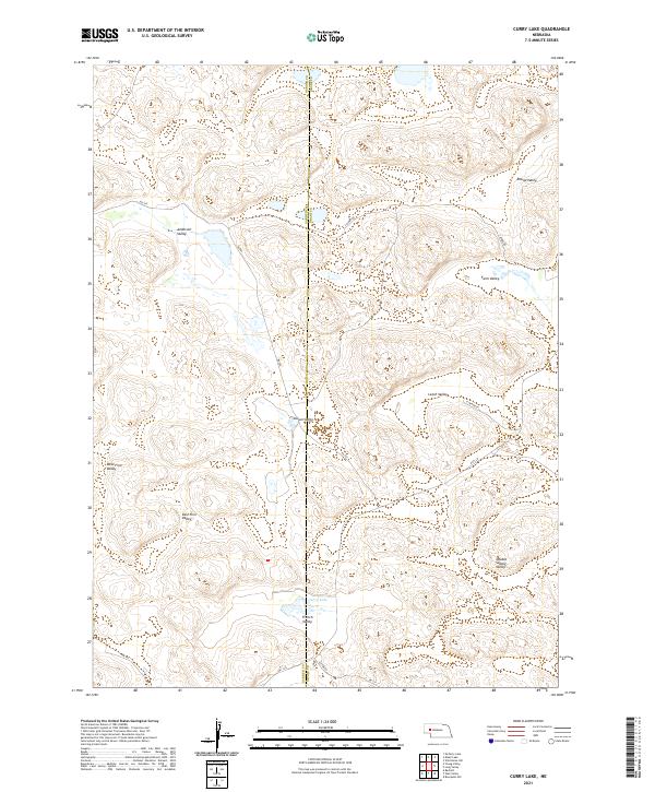
2021 Map of Curry Lake
USGS Topo · Published 2021About this map
Curry Lake sits at the heart of this landscape, marking a rare permanent water feature in a region defined by a series of distinct depressions. The terrain is organized into several named valleys that dominate the local geography, including Anderson Valley in the northwest and Julian Valley near the center. These landforms suggest a reliance on low-lying areas for pasture or shelter within the Sandhills.
Find a feature on this map
23 named features on this map. Tap any name to fly to it.
Don’t see what you’re looking for? This feature index may not catch every label — zoom into the map to look around manually.
Map Details
Editions of this 2021 Curry Lake Map
This is the sole edition of this map. No revisions or reprints were ever made.
Other maps of this area

1948 · George Lake
USGS Topo · 1:62,500

1949 · Rackett
USGS Topo · 1:62,500

1950 · Velma
USGS Topo · 1:62,500

1950 · George Lake
USGS Topo · 1:62,500

1950 · Longfellow Lake
USGS Topo · 1:62,500

1951 · Rackett
USGS Topo · 1:62,500

1954 · Scottsbluff
USGS Topo · 1:250,000

1954 · North Platte
USGS Topo · 1:250,000

1956 · North Platte
USGS Topo · 1:250,000

1957 · North Platte
USGS Topo · 1:250,000