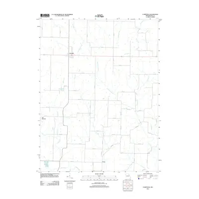
2012 Map of Curryville
USGS Topo · Published 2012About this map
Curryville serves as the primary hub for this agricultural portion of Pike County, defined by a meticulously surveyed grid of county roads and numerous winding waterways. The landscape is carved by the Lick Creek and Indian Creek systems, which drain the surrounding farmland toward larger tributaries like the North Fork Culture River. Local settlements such as New Harmony and Farmer anchor the rural community, while family-named features like Deigel Lake suggest a long history of local landownership.
Find a feature on this map
60 named features on this map. Tap any name to fly to it.
Don’t see what you’re looking for? This feature index may not catch every label — zoom into the map to look around manually.
Map Details
Editions of this 2012 Curryville Map
This is the sole edition of this map. No revisions or reprints were ever made.
Other maps of this area

1890 · Louisiana
USGS Topo · 1:125,000
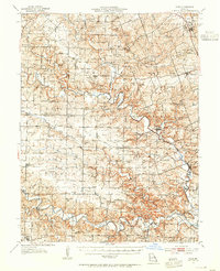
1937 · Silex
USGS Topo · 1:62,500
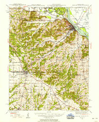
1937 · Bowling Green
USGS Topo · 1:62,500
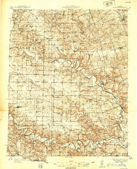
1939 · Silex
USGS Topo · 1:48,000
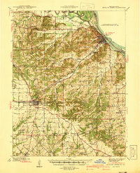
1940 · Bowling Green
USGS Topo · 1:62,500
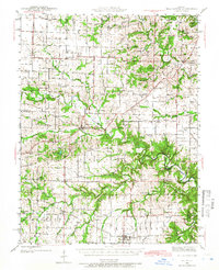
1942 · Bellflower
USGS Topo · 1:62,500
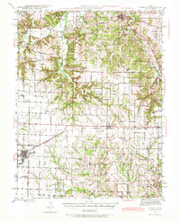
1943 · Vandalia
USGS Topo · 1:62,500
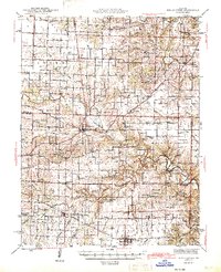
1945 · Bellflower
USGS Topo · 1:62,500
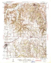
1945 · Vandalia
USGS Topo · 1:62,500
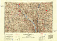
1948 · Quincy
USGS Topo · 1:250,000