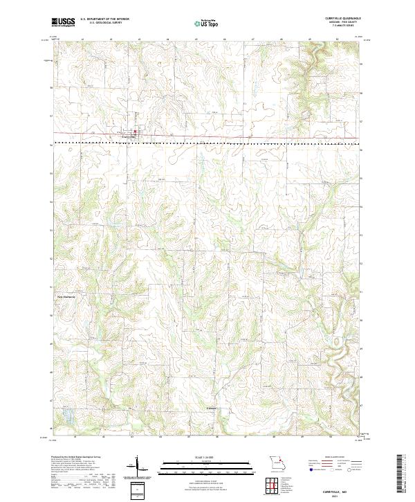
2021 Map of Curryville
USGS Topo · Published 2021About this map
Curryville stands as a central hub of this Pike County landscape, where the intersection of Highway E and W Main St anchors a grid of residential streets including N Central Dr and Poplar St. The surrounding countryside is defined by an intricate network of waterways draining the agricultural plains, most notably the headwaters of the Dry Fork Cuivre River and the branching reaches of Lick Cr.
Find a feature on this map
71 named features on this map. Tap any name to fly to it.
Don’t see what you’re looking for? This feature index may not catch every label — zoom into the map to look around manually.
Map Details
Editions of this 2021 Curryville Map
This is the sole edition of this map. No revisions or reprints were ever made.
Other maps of this area

1890 · Louisiana
USGS Topo · 1:125,000

1937 · Silex
USGS Topo · 1:62,500

1937 · Bowling Green
USGS Topo · 1:62,500

1939 · Silex
USGS Topo · 1:48,000

1940 · Bowling Green
USGS Topo · 1:62,500

1942 · Bellflower
USGS Topo · 1:62,500

1943 · Vandalia
USGS Topo · 1:62,500

1945 · Bellflower
USGS Topo · 1:62,500

1945 · Vandalia
USGS Topo · 1:62,500

1948 · Quincy
USGS Topo · 1:250,000