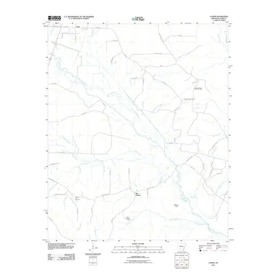
2011 Map of Curtis
USGS Topo · Published 2011About this map
Terre Noire Creek meanders southeast across this portion of Clark County, defining a landscape of low ridges and alluvial bottomlands just after the turn of the millennium. The settlement of Curtis occupies the northwestern corner, while the small community of Red Springs serves as a central landmark for rural travelers. A network of local routes, including Vaden Rd and Red Springs Rd, connects these hamlets to the surrounding timberlands and family homesteads.
Find a feature on this map
64 named features on this map. Tap any name to fly to it.
Don’t see what you’re looking for? This feature index may not catch every label — zoom into the map to look around manually.
Map Details
Editions of this 2011 Curtis Map
This is the sole edition of this map. No revisions or reprints were ever made.
Other maps of this area

1901 · Gurdon
USGS Topo · 1:125,000

1903 · Camden
USGS Topo · 1:125,000

1953 · El Dorado
USGS Topo · 1:250,000

1955 · Little Rock
USGS Topo · 1:250,000

1956 · Little Rock
USGS Topo · 1:250,000

1957 · El Dorado
USGS Topo · 1:250,000

1958 · El Dorado
USGS Topo · 1:250,000

1959 · Arkadelphia
USGS Topo · 1:24,000

1960 · El Dorado
USGS Topo · 1:250,000

1960 · Little Rock
USGS Topo · 1:250,000