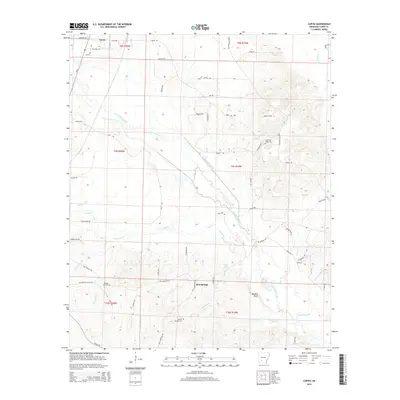
2014 Map of Curtis
USGS Topo · Published 2014About this map
Curtis and Red Springs serve as the primary focal points in this Clark County landscape, where the terrain is defined by the winding course of Terre Noire Creek and its many tributaries. The area's history is preserved in several local burial grounds, including Copeland Ridge Cem, Bethel Springs Cem, and Rawles Hill Cem, providing valuable touchpoints for genealogists. Prominent natural landmarks like Copeland Ridge and Walters Bluff overlook the drainage basins of Bankhead Cr and Little Beech Br. The map reveals a dense network of local roads such as Vaden Rd and Tin Can Rd, reflecting a rural settlement pattern deeply integrated with the region's topography and water sources like Ball Spring.
Find a feature on this map
73 named features on this map. Tap any name to fly to it.
Don’t see what you’re looking for? This feature index may not catch every label — zoom into the map to look around manually.
Map Details
Editions of this 2014 Curtis Map
This is the sole edition of this map. No revisions or reprints were ever made.
Other maps of this area

1901 · Gurdon
USGS Topo · 1:125,000

1903 · Camden
USGS Topo · 1:125,000

1953 · El Dorado
USGS Topo · 1:250,000

1955 · Little Rock
USGS Topo · 1:250,000

1956 · Little Rock
USGS Topo · 1:250,000

1957 · El Dorado
USGS Topo · 1:250,000

1958 · El Dorado
USGS Topo · 1:250,000

1959 · Arkadelphia
USGS Topo · 1:24,000

1960 · El Dorado
USGS Topo · 1:250,000

1960 · Little Rock
USGS Topo · 1:250,000