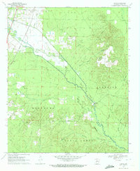
1970 Map of Curtis
USGS Topo · Published 1972About this map
Terre Noire Creek meanders southeastward across this Clark County landscape, joined by its South Fork and a network of named tributaries like Waggle Creek and Dry Branch. In the northwest, the settlement of Curtis sits along the Missouri Pacific railroad line, while the central and eastern portions of the map are defined by the elevated Copeland Ridge. This upland area is a hub for community life, anchored by the Copeland Ridge Community Hall and the Copeland Ridge Cem. The map reveals a highly engineered water management system in the bottomlands, specifically the North Boat Ditch which cuts a straight line through the creek basin to control drainage. Rural life is further evidenced by scattered spiritual and civic landmarks, from Hartz Chapel and Harmony Hill Ch to the quiet Rawles Hill Cem and Bethel Springs Cem near the settlement of Red Springs.
Find a feature on this map
37 named features on this map. Tap any name to fly to it.
Don’t see what you’re looking for? This feature index may not catch every label — zoom into the map to look around manually.
Map Details
Editions of this 1970 Curtis Map
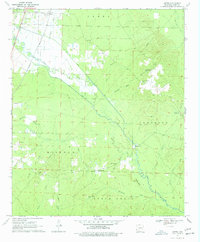
2 editions found
Other maps of this area

1901 · Gurdon
USGS Topo · 1:125,000

1903 · Camden
USGS Topo · 1:125,000

1953 · El Dorado
USGS Topo · 1:250,000

1955 · Little Rock
USGS Topo · 1:250,000

1956 · Little Rock
USGS Topo · 1:250,000

1957 · El Dorado
USGS Topo · 1:250,000

1958 · El Dorado
USGS Topo · 1:250,000

1959 · Arkadelphia
USGS Topo · 1:24,000

1960 · El Dorado
USGS Topo · 1:250,000

1960 · Little Rock
USGS Topo · 1:250,000