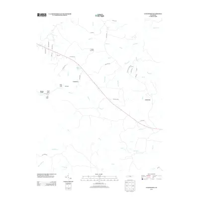
2013 Map of Curtistown
USGS Topo · Published 2013About this map
Curtistown and the surrounding plateau terrain in Warren County are defined by a network of steep drainages and isolated landmarks. The landscape is carved by numerous watercourses including Rocky River, Spring Cr, and Big Sandy Br, creating distinctive geographic features such as Laurel Creek Gulch and Dry Creek Gulch. Human activity is concentrated along the ridges, anchored by the Cumberland Plateau Observatory and the small settlement of Chalybeate. This 2013 survey illustrates how modern infrastructure, such as Hillisville Rd and Curtistown Rd, follows the higher ground to avoid the deep hollows and creek beds. Genealogists and local historians can use the map to locate specific sites like O'Neal Lake and the area around Pleasant Hill Cemetery Rd, providing context for family roots in this rural Tennessee landscape.
Find a feature on this map
50 named features on this map. Tap any name to fly to it.
Don’t see what you’re looking for? This feature index may not catch every label — zoom into the map to look around manually.
Map Details
Editions of this 2013 Curtistown Map
This is the sole edition of this map. No revisions or reprints were ever made.
Other maps of this area

1888 · Chattanooga
USGS Topo · 1:125,000

1892 · Pikeville
USGS Topo · 1:125,000

1893 · Mc Minnville
USGS Topo · 1:125,000

1893 · Chattanooga
USGS Topo · 1:125,000

1895 · Mc Minnville
USGS Topo · 1:125,000

1895 · Sewanee
USGS Topo · 1:125,000

1895 · Pikeville
USGS Topo · 1:125,000

1935 · Smart Mountain
USGS Topo · 1:24,000
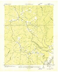
1936 · Savage Point
USGS Topo · 1:24,000
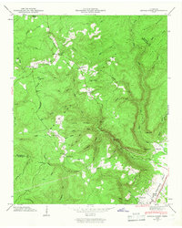
1946 · Savage Point
USGS Topo · 1:24,000