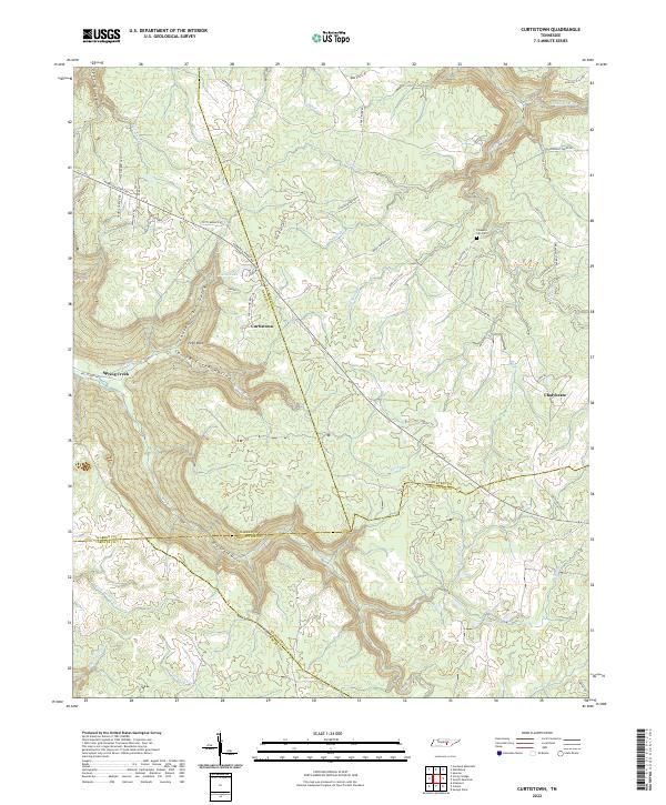
2022 Map of Curtistown
USGS Topo · Published 2022About this map
Curtistown serves as a central point of reference in this recent survey of the Tennessee highlands, where the borders of Warren, Van Buren, Sequatchie, and Grundy counties meet. The landscape is defined by deep incisions in the plateau, notably Dyer Gulch, Laurel Creek Gulch, and Dry Creek Gulch. These steep landforms direct the flow of water into systems like the Rocky River and Spring Creek, which carves through the Spring Creek Hollow.
Find a feature on this map
62 named features on this map. Tap any name to fly to it.
Don’t see what you’re looking for? This feature index may not catch every label — zoom into the map to look around manually.
Map Details
Editions of this 2022 Curtistown Map
This is the sole edition of this map. No revisions or reprints were ever made.
Other maps of this area

1888 · Chattanooga
USGS Topo · 1:125,000

1892 · Pikeville
USGS Topo · 1:125,000

1893 · Mc Minnville
USGS Topo · 1:125,000

1893 · Chattanooga
USGS Topo · 1:125,000

1895 · Mc Minnville
USGS Topo · 1:125,000

1895 · Sewanee
USGS Topo · 1:125,000

1895 · Pikeville
USGS Topo · 1:125,000

1935 · Smart Mountain
USGS Topo · 1:24,000
1936 · Savage Point
USGS Topo · 1:24,000
1946 · Savage Point
USGS Topo · 1:24,000