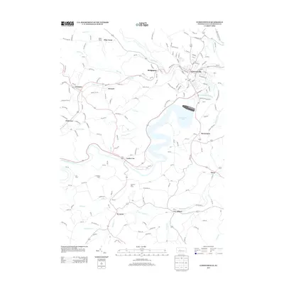
2013 Map of Curwensville
USGS Topo · Published 2013About this map
Curwensville Lake dominates the central landscape of this West Branch Susquehanna River corridor, illustrating the complex hydrology of Clearfield County. The borough of Curwensville serves as a focal point where Anderson Creek meets the West Branch Susquehanna River, surrounded by several distinct smaller settlements such as Lumber City, Grampian, and New Millport. These communities are interconnected by a network of winding valley roads, including Maple Sugar Road and McClure Cemetery Road.
Find a feature on this map
169 named features on this map. Tap any name to fly to it.
Don’t see what you’re looking for? This feature index may not catch every label — zoom into the map to look around manually.
Map Details
Editions of this 2013 Curwensville Map
This is the sole edition of this map. No revisions or reprints were ever made.
Other maps of this area

1903 · Curwensville
USGS Topo · 1:62,500

1903 · Houtzdale
USGS Topo · 1:62,500

1905 · Houtzdale
USGS Topo · 1:62,500

1929 · Clearfield
USGS Topo · 1:48,000

1929 · Penfield
USGS Topo · 1:62,500

1932 · Clearfield
USGS Topo · 1:62,500

1932 · Penfield
USGS Topo · 1:62,500

1939 · Curwensville
USGS Topo · 1:62,500

1942 · Curwensville
USGS Topo · 1:62,500

1943 · Punxsutawney
USGS Topo · 1:125,000