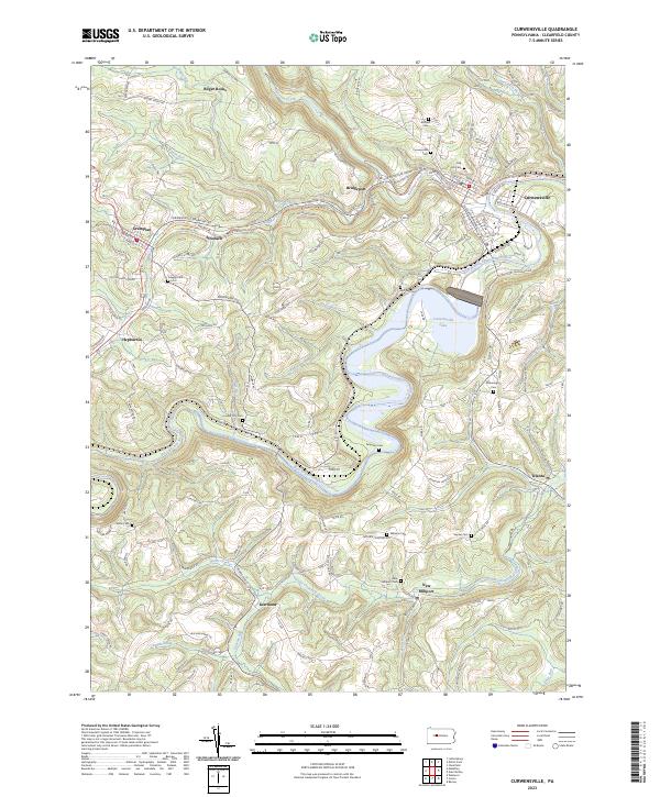
2023 Map of Curwensville
USGS Topo · Published 2023About this map
Curwensville Lake dominates the central landscape of this Clearfield County survey, formed by the impoundment of the West Branch Susquehanna River. The surrounding terrain is a network of ridges and narrow valleys defined by watercourses like Anderson Creek and Little Clearfield Creek. Settlement patterns follow these natural corridors, with established communities such as Curwensville, Grampian, and New Millport connected by winding roads that trace the historical path of industry and commerce in the region. For local historians and genealogists, the map is remarkably dense with burial sites, including the Oak Hill Cem, Lumber City Cem, and the Quaker Friends Cem near Stronach. Notable landmarks like the Bilger Rocks in the north and the cluster of family cemeteries near Olanta and Kerrmoor provide specific points of interest for tracing early family plots and community hubs throughout the rural countryside.
Find a feature on this map
89 named features on this map. Tap any name to fly to it.
Don’t see what you’re looking for? This feature index may not catch every label — zoom into the map to look around manually.
Map Details
Editions of this 2023 Curwensville Map
This is the sole edition of this map. No revisions or reprints were ever made.
Other maps of this area

1903 · Curwensville
USGS Topo · 1:62,500

1903 · Houtzdale
USGS Topo · 1:62,500

1905 · Houtzdale
USGS Topo · 1:62,500

1929 · Clearfield
USGS Topo · 1:48,000

1929 · Penfield
USGS Topo · 1:62,500

1932 · Clearfield
USGS Topo · 1:62,500

1932 · Penfield
USGS Topo · 1:62,500

1939 · Curwensville
USGS Topo · 1:62,500

1942 · Curwensville
USGS Topo · 1:62,500

1943 · Punxsutawney
USGS Topo · 1:125,000