
1973 Map of Cushing
USGS Topo · Published 1976About this map
Cushing serves as the primary hub of this East Texas landscape, where the Southern Pacific railroad cuts a diagonal path through the wooded terrain of Rusk and Nacogdoches counties. The area is defined by a dense network of small rural communities and family landmarks, including Looneyville and Oak Flat. High points like Button Mountain and Denny Mountain overlook a topography punctuated by energy infrastructure, such as the Strip Mine and numerous Gas Wells.
Find a feature on this map
55 named features on this map. Tap any name to fly to it.
Don’t see what you’re looking for? This feature index may not catch every label — zoom into the map to look around manually.
Map Details
Editions of this 1973 Cushing Map
This is the sole edition of this map. No revisions or reprints were ever made.
Other maps of this area

1943 · Cushing
USGS Topo · 1:62,500

1945 · Cushing
USGS Topo · 1:62,500

1952 · Douglass
USGS Topo · 1:62,500

1952 · Nacogdoches
USGS Topo · 1:62,500

1953 · Palestine
USGS Topo · 1:250,000

1957 · Palestine
USGS Topo · 1:250,000

1960 · Mount Enterprise
USGS Topo · 1:62,500
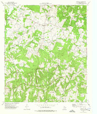
1973 · Laneville
USGS Topo · 1:24,000
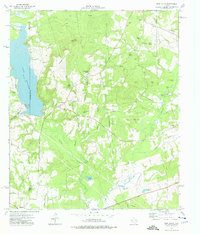
1973 · New Salem
USGS Topo · 1:24,000
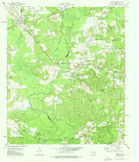
1973 · Reklaw
USGS Topo · 1:24,000