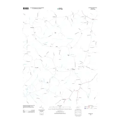
2013 Map of Custer
USGS Topo · Published 2013About this map
Fairfield and Hudson anchor a landscape defined by small crossroads settlements and family lineage in this 2013 survey. The rural character of this region is evidenced by the high density of small cemeteries, such as Horsley Cem, McCamish Cem, and Goodhope Cem, many of which sit adjacent to family-named roads like Willard Dupin Rd and Kennedy Rd. The topography transitions from the high ground of Marks Ridge down into the Duncan Valley, eventually meeting the finger-like inlets of Rough River Lake. The intricate network of waterways, including Fiddlers Cr, N Fork Rough River, and Muddy Prong, illustrates a drainage system that has historically dictated the placement of early homes and farms throughout this part of Kentucky.
Find a feature on this map
98 named features on this map. Tap any name to fly to it.
Don’t see what you’re looking for? This feature index may not catch every label — zoom into the map to look around manually.
Map Details
Editions of this 2013 Custer Map
This is the sole edition of this map. No revisions or reprints were ever made.
Other maps of this area

1928 · Hardinsburg
USGS Topo · 1:48,000

1931 · Hardinsburg
USGS Topo · 1:62,500

1932 · Big Clifty
USGS Topo · 1:62,500

1941 · Ekron
USGS Topo · 1:62,500

1947 · Hardinsburg
USGS Topo · 1:24,000

1947 · Garfield
USGS Topo · 1:24,000

1947 · Hardinsburg
USGS Topo · 1:62,500

1947 · Ekron
USGS Topo · 1:62,500
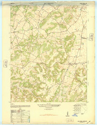
1948 · Big Spring
USGS Topo · 1:24,000

1949 · Constantine
USGS Topo · 1:24,000