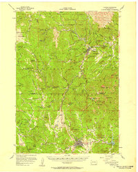
1956 Map of Custer
USGS Topo · Published 1958About this map
Black Hills National Forest dominates this mid-century landscape, a territory defined by high granite summits and the legacy of the region's mining and carving. The map captures the nascent Crazy Horse Carvings on Thunderhead Mountain, a monumental project in its early decades. Below the prominent Harney Peak, the terrain is etched with the remnants of industrial pursuits, from the Hidden Treasure Mine to the Old Mike Mine.
Find a feature on this map
135 named features on this map. Tap any name to fly to it.
Don’t see what you’re looking for? This feature index may not catch every label — zoom into the map to look around manually.
Map Details
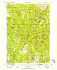
Editions of this 1956 Custer Map
2 editions found
Other maps of this area

1893 · Rapid
USGS Topo · 1:125,000

1894 · Deadwood
USGS Topo · 1:125,000

1894 · Hermosa
USGS Topo · 1:125,000

1896 · Harney Peak
USGS Topo · 1:125,000

1898 · Rapid
USGS Topo · 1:125,000

1901 · Hermosa
USGS Topo · 1:125,000

1901 · Harney Peak
USGS Topo · 1:125,000

1901 · Deadwood
USGS Topo · 1:125,000

1903 · Rapid
USGS Topo · 1:125,000

1916 · Deadwood
USGS Topo · 1:125,000