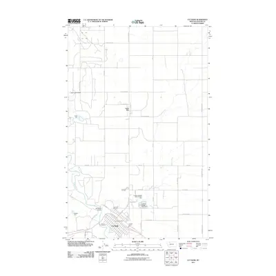
2011 Map of Cut Bank
USGS Topo · Published 2011About this map
Cut Bank serves as the focal point of this northern Montana landscape, situated where the high plains meet the winding path of Cut Bank Creek. In the early 2010s, the town's layout was defined by its relationship with the rail corridor, with streets like W Railroad St and E Railroad St flanking the tracks near N Central Ave. The infrastructure of the community is evidenced by the Cut Bank Vol Fire Dept and the nearby Crown Hill Cemetery to the north.
Find a feature on this map
40 named features on this map. Tap any name to fly to it.
Don’t see what you’re looking for? This feature index may not catch every label — zoom into the map to look around manually.
Map Details
Editions of this 2011 Cut Bank Map
This is the sole edition of this map. No revisions or reprints were ever made.
Other maps of this area

1907 · Blackfoot Res.
USGS Topo · 1:48,000

1909 · Cut Bank
USGS Topo · 1:125,000

1912 · Cut Bank
USGS Topo · 1:125,000

1960 · Cut Bank
USGS Topo · 1:250,000

1963 · Cut Bank
USGS Topo · 1:250,000

1964 · Cut Bank
USGS Topo · 1:250,000

1966 · Ethridge NW
USGS Topo · 1:24,000
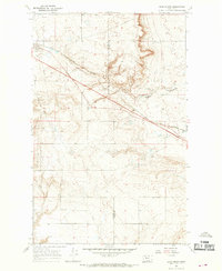
1966 · Boru Spring
USGS Topo · 1:24,000
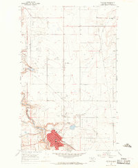
1966 · Cut Bank
USGS Topo · 1:24,000
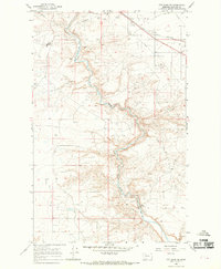
1966 · Cut Bank SE
USGS Topo · 1:24,000