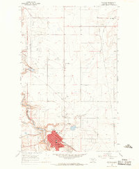
1966 Map of Cut Bank
USGS Topo · Published 1969About this map
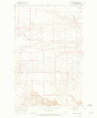
Cut Bank Creek carves a deep valley through the high plains, serving as a natural boundary for the Blackfeet Indian Reservation while supporting the growing city of Cut Bank. In the late 1960s, the area reflects a transition from traditional ranching and railroading to an energy-based economy, evidenced by numerous scattered Gas Wells and Oil Wells across the plateau. The Great Northern railway remains the central pulse of the region, running through the heart of town past the Po and CH.
Find a feature on this map
30 named features on this map. Tap any name to fly to it.
Don’t see what you’re looking for? This feature index may not catch every label — zoom into the map to look around manually.
Map Details
Editions of this 1966 Cut Bank Map
2 editions found
Other maps of this area

1907 · Blackfoot Res.
USGS Topo · 1:48,000

1909 · Cut Bank
USGS Topo · 1:125,000

1912 · Cut Bank
USGS Topo · 1:125,000

1960 · Cut Bank
USGS Topo · 1:250,000

1963 · Cut Bank
USGS Topo · 1:250,000

1964 · Cut Bank
USGS Topo · 1:250,000

1966 · Ethridge NW
USGS Topo · 1:24,000
1966 · Boru Spring
USGS Topo · 1:24,000
1966 · Cut Bank SE
USGS Topo · 1:24,000
1966 · Squaw Buttes
USGS Topo · 1:24,000