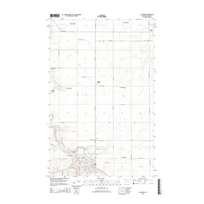
2014 Map of Cut Bank
USGS Topo · Published 2014About this map
The high plains of Glacier County meet the winding course of Cut Bank Creek in this 2014 geographic study. The town of Cut Bank serves as the regional hub, defined by a dense grid of residential streets like W Main St and industrial zones including the Industrial Site. Just north of the town center lies Crown Hill Cem, while the smaller settlement of Santa Rita sits further into the prairie landscape.
Find a feature on this map
64 named features on this map. Tap any name to fly to it.
Don’t see what you’re looking for? This feature index may not catch every label — zoom into the map to look around manually.
Map Details
Editions of this 2014 Cut Bank Map
This is the sole edition of this map. No revisions or reprints were ever made.
Other maps of this area

1907 · Blackfoot Res.
USGS Topo · 1:48,000

1909 · Cut Bank
USGS Topo · 1:125,000

1912 · Cut Bank
USGS Topo · 1:125,000

1960 · Cut Bank
USGS Topo · 1:250,000

1963 · Cut Bank
USGS Topo · 1:250,000

1964 · Cut Bank
USGS Topo · 1:250,000

1966 · Ethridge NW
USGS Topo · 1:24,000
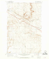
1966 · Boru Spring
USGS Topo · 1:24,000
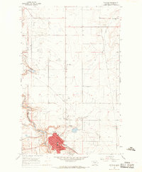
1966 · Cut Bank
USGS Topo · 1:24,000
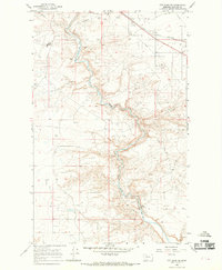
1966 · Cut Bank SE
USGS Topo · 1:24,000