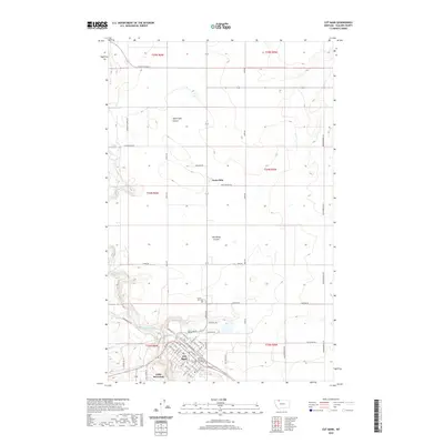
2020 Map of Cut Bank
USGS Topo · Published 2020About this map
Cut Bank serves as the focal point of this Glacier County landscape, where the BNSF Railway corridor parallels the winding course of Cut Bank Creek. This 2020 survey illustrates a high-plains environment characterized by deep natural depressions like Head Light Coulee and Old Maids Coulee, which break the surrounding agricultural and ranching topography. The town's grid is anchored by the Glacier County Courthouse and extends toward the community of Little Browning to the south.
Find a feature on this map
67 named features on this map. Tap any name to fly to it.
Don’t see what you’re looking for? This feature index may not catch every label — zoom into the map to look around manually.
Map Details
Editions of this 2020 Cut Bank Map
This is the sole edition of this map. No revisions or reprints were ever made.
Other maps of this area

1907 · Blackfoot Res.
USGS Topo · 1:48,000

1909 · Cut Bank
USGS Topo · 1:125,000

1912 · Cut Bank
USGS Topo · 1:125,000

1960 · Cut Bank
USGS Topo · 1:250,000

1963 · Cut Bank
USGS Topo · 1:250,000

1964 · Cut Bank
USGS Topo · 1:250,000

1966 · Ethridge NW
USGS Topo · 1:24,000
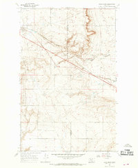
1966 · Boru Spring
USGS Topo · 1:24,000
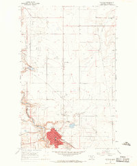
1966 · Cut Bank
USGS Topo · 1:24,000
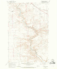
1966 · Cut Bank SE
USGS Topo · 1:24,000