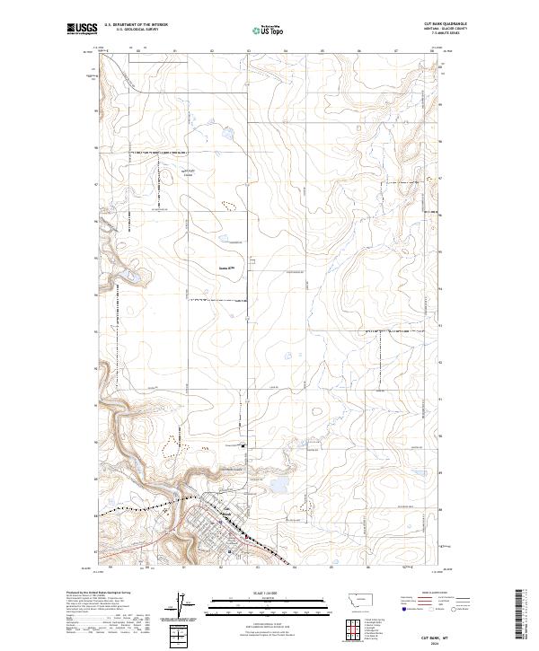
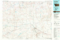
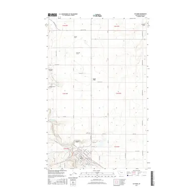
2024 Map of Cut Bank
USGS Topo · Published 2024About this map
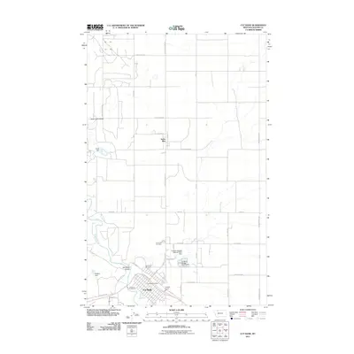
Cut Bank serves as the focal point of this northern Montana landscape, situated along the winding course of Cut Bank Creek. The town's grid is anchored by the Glacier County Courthouse and bounded to the north by the BNSF Railway, which remains a vital artery for the region. North of the city, the settlement of Santa Rita sits amidst a high plains terrain defined by deep erosional features like Head Light Coulee and Old Maids Coulee. Rural life is marked by numerous family-named routes such as Winkler School Rd, Yunck Rd, and Lahr Rd, reflecting a lineage of land use and education. The presence of Crown Hill Cem on the northern outskirts of the city provides a significant touchstone for genealogical research in Glacier County.
Find a feature on this map
40 named features on this map. Tap any name to fly to it.
Don’t see what you’re looking for? This feature index may not catch every label — zoom into the map to look around manually.
Map Details
Editions of this 2024 Cut Bank Map
This is the sole edition of this map. No revisions or reprints were ever made.
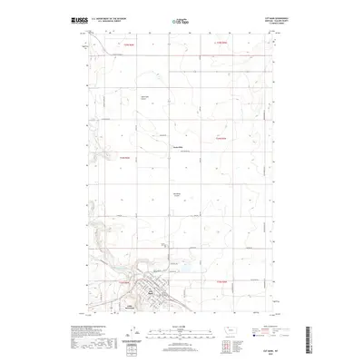
Historical Maps of Cut Bank Through Time
12 maps found
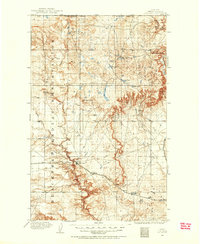
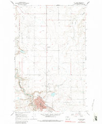
1909 Cut Bank
Glacier County, MT
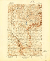
1912 Cut Bank
Glacier County, MT
1960 Cut Bank
Glacier County, MT

1963 Cut Bank
Glacier County, MT

1964 Cut Bank
Glacier County, MT
1966 Cut Bank
Glacier County, MT
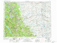
1984 Cut Bank
Glacier County, MT
2011 Cut Bank
Glacier County, MT
2014 Cut Bank
Glacier County, MT
2017 Cut Bank
Glacier County, MT
2020 Cut Bank
Glacier County, MT
2024 Cut Bank
Glacier County, MT