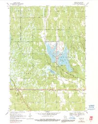
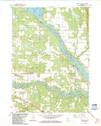
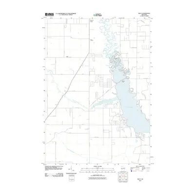
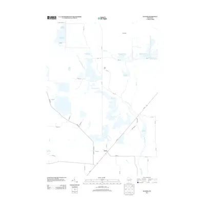
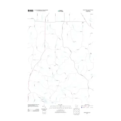
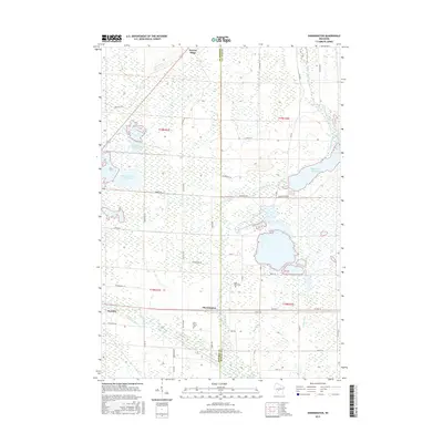
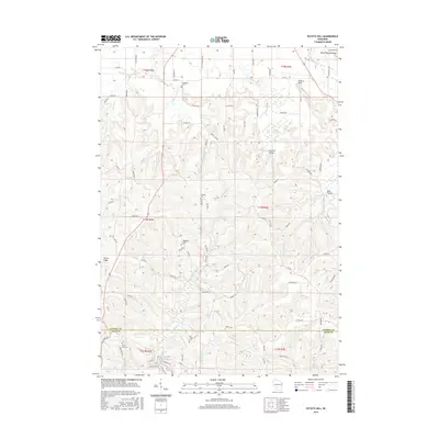
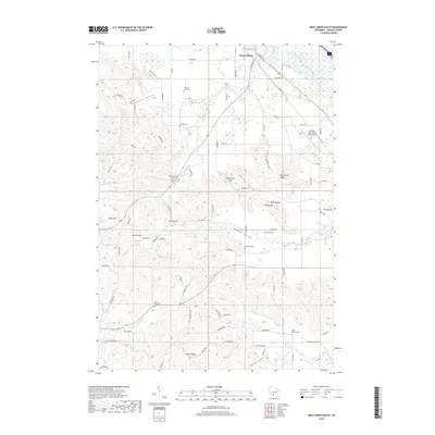
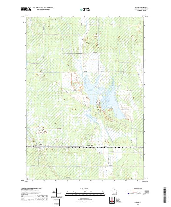
1969 Map of Cutler
USGS Topo · Published 1991About this map
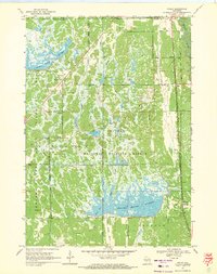
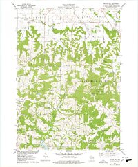
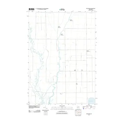
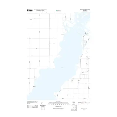
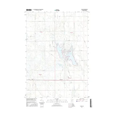
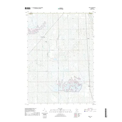
The Chicago and North Western rail line cuts a straight horizontal path across the lower portion of this landscape, anchoring the small settlements of Cutler and Cloverdale. Much of the terrain is defined by an intricate network of wetlands and managed water bodies, including Rynearson Flowage and Necedah Flowage. These waters are part of the vast Necedah National Wildlife Refuge and the adjacent Meadow Valley State Wildlife Area, where Wildlife Headquarters and multiple observation towers overlook the complex drainage system of the Yellow River and Little Yellow River. The map reveals a highly structured environment of dikes and lateral roads, such as Grand Dike and Lateral Road, which manage the flow of water through this low-lying region of Juneau County.
Find a feature on this map
35 named features on this map. Tap any name to fly to it.
Don’t see what you’re looking for? This feature index may not catch every label — zoom into the map to look around manually.
Map Details
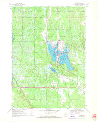
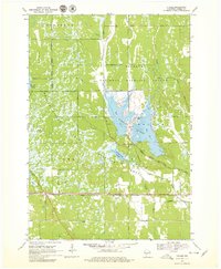
Editions of this 1969 Cutler Map
3 editions found
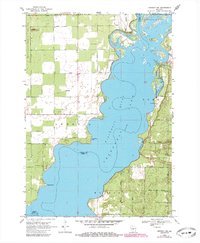
Historical Maps of Cutler Through Time
66 maps found
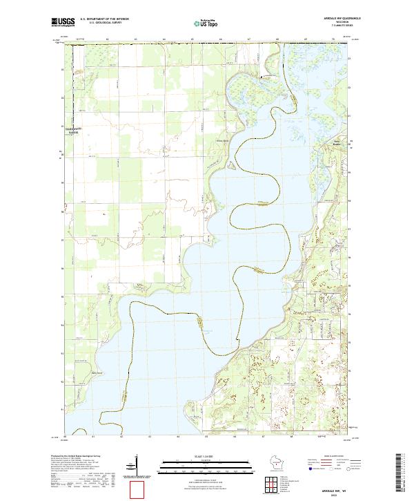
1969 Arkdale NW
Juneau County, WI
1969 Cutler
Juneau County, WI
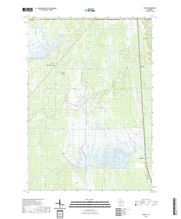
1969 Finley
Juneau County, WI
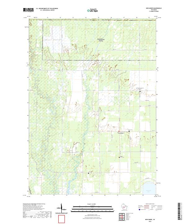
1969 New Miner
Juneau County, WI
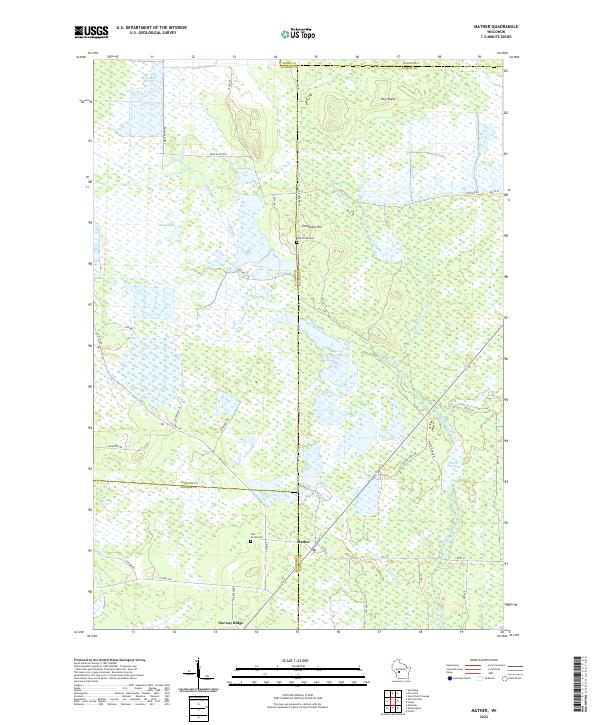
1970 Mather
Juneau County, WI
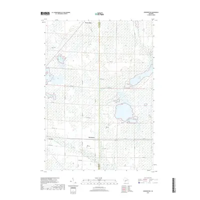
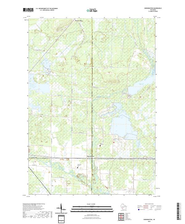
1970 Shennington
Juneau County, WI
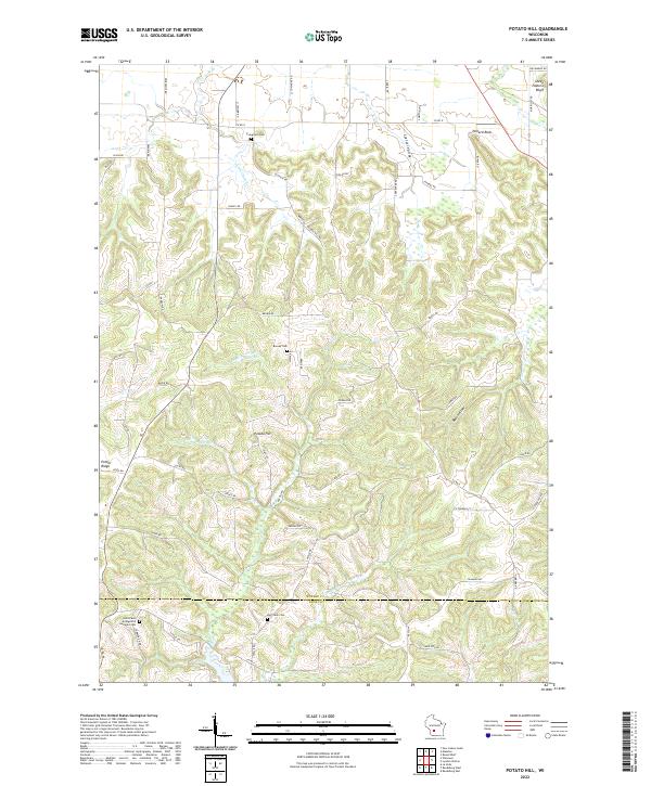
1975 Potato Hill
Juneau County, WI
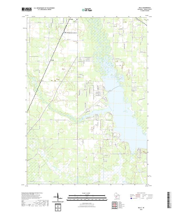
1983 Kelly
Juneau County, WI
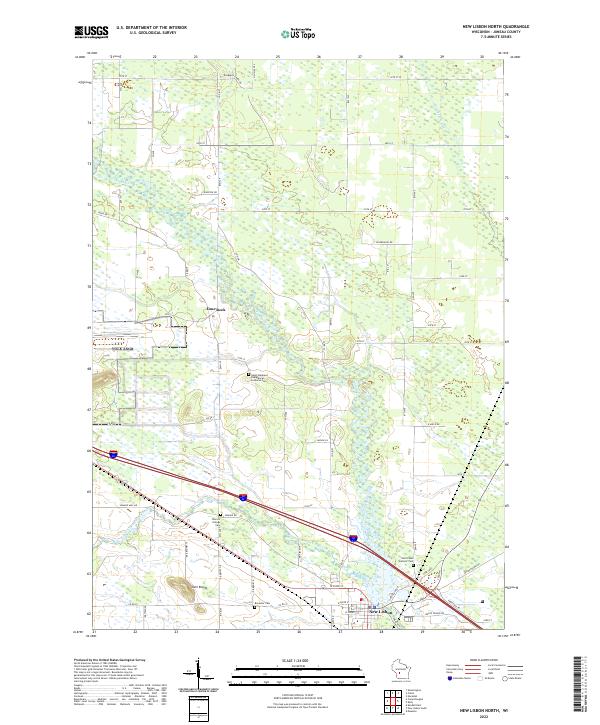
1983 New Lisbon North
Juneau County, WI
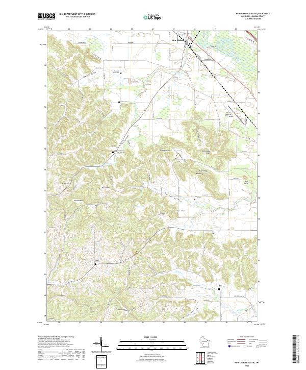
1983 New Lisbon South
Juneau County, WI
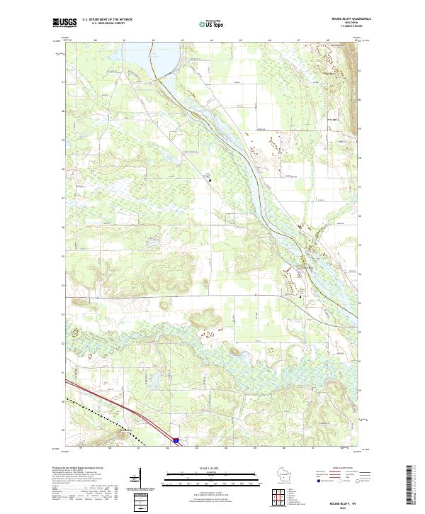
1983 Round Bluff
Juneau County, WI
2010 Arkdale NW
Juneau County, WI
2010 Cutler
Juneau County, WI
2010 Finley
Juneau County, WI
2010 Kelly
Juneau County, WI
2010 Mather
Juneau County, WI
2010 New Lisbon North
Juneau County, WI
2010 New Lisbon South
Juneau County, WI
2010 New Miner
Juneau County, WI
2010 Potato Hill
Juneau County, WI
2010 Round Bluff
Juneau County, WI
2010 Shennington
Juneau County, WI
2013 Arkdale NW
Juneau County, WI
2013 Cutler
Juneau County, WI
2013 Finley
Juneau County, WI
2013 Kelly
Juneau County, WI
2013 Mather
Juneau County, WI
2013 New Lisbon North
Juneau County, WI
2013 New Lisbon South
Juneau County, WI
2013 New Miner
Juneau County, WI
2013 Potato Hill
Juneau County, WI
2013 Round Bluff
Juneau County, WI
2013 Shennington
Juneau County, WI
2015 Arkdale NW
Juneau County, WI
2015 Cutler
Juneau County, WI
2015 Finley
Juneau County, WI
2015 Mather
Juneau County, WI
2015 New Miner
Juneau County, WI
2015 Shennington
Juneau County, WI
2016 Kelly
Juneau County, WI
2016 New Lisbon North
Juneau County, WI
2016 New Lisbon South
Juneau County, WI
2016 Potato Hill
Juneau County, WI
2016 Round Bluff
Juneau County, WI
2018 Arkdale NW
Juneau County, WI
2018 Cutler
Juneau County, WI
2018 Finley
Juneau County, WI
2018 Kelly
Juneau County, WI
2018 Mather
Juneau County, WI
2018 New Lisbon North
Juneau County, WI
2018 New Lisbon South
Juneau County, WI
2018 New Miner
Juneau County, WI
2018 Potato Hill
Juneau County, WI
2018 Round Bluff
Juneau County, WI
2018 Shennington
Juneau County, WI
2022 Arkdale NW
Juneau County, WI
2022 Cutler
Juneau County, WI
2022 Finley
Juneau County, WI
2022 Kelly
Juneau County, WI
2022 Mather
Juneau County, WI
2022 New Lisbon North
Juneau County, WI
2022 New Lisbon South
Juneau County, WI
2022 New Miner
Juneau County, WI
2022 Potato Hill
Juneau County, WI
2022 Round Bluff
Juneau County, WI
2022 Shennington
Juneau County, WI