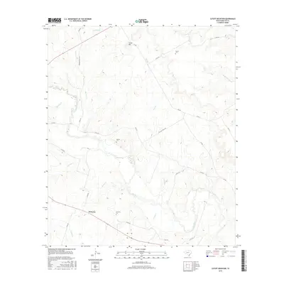
2016 Map of Cutoff Mountain
USGS Topo · Published 2016About this map
Whiteway and the meandering Leon River dominate this Central Texas landscape in Hamilton County. The river valley is a focal point for the region's geography, fed by numerous seasonal waterways including Sycamore Cr, Beck Br, and Orman Cr. The terrain is defined by low-lying plains and limestone ridges, most notably at Cutoff Mtn in the north.
Find a feature on this map
30 named features on this map. Tap any name to fly to it.
Don’t see what you’re looking for? This feature index may not catch every label — zoom into the map to look around manually.
Map Details
Editions of this 2016 Cutoff Mountain Map
This is the sole edition of this map. No revisions or reprints were ever made.
Other maps of this area

1888 · Hamilton
USGS Topo · 1:125,000

1888 · Meridian
USGS Topo · 1:125,000

1894 · Hamilton
USGS Topo · 1:125,000

1894 · Meridian
USGS Topo · 1:125,000

1954 · Brownwood
USGS Topo · 1:250,000

1954 · Waco
USGS Topo · 1:250,000

1955 · Waco
USGS Topo · 1:250,000
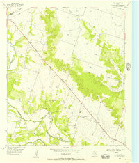
1955 · Ater
USGS Topo · 1:24,000
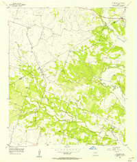
1956 · Jonesboro
USGS Topo · 1:24,000

1956 · Cranfills Gap
USGS Topo · 1:24,000