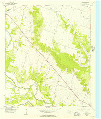
1955 Map of Ater
USGS Topo · Published 1956About this map
The Leon River carves a winding path through the western half of this 1955 survey, defining a landscape of riparian lowlands and upland plateaus. The rural settlements of Ater and Ames anchor the local community, which is connected by the 36th Division Memorial Highway cutting diagonally across the terrain. This era of Coryell County history is marked by a transition in transportation, evidenced by the presence of an Old Railroad Grade running parallel to Plum Creek in the south, indicating a bypass or removal of former rail service.
Find a feature on this map
18 named features on this map. Tap any name to fly to it.
Don’t see what you’re looking for? This feature index may not catch every label — zoom into the map to look around manually.
Map Details
Editions of this 1955 Ater Map
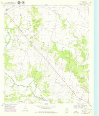
2 editions found
Other maps of this area

1888 · Meridian
USGS Topo · 1:125,000

1894 · Meridian
USGS Topo · 1:125,000

1894 · Gatesville
USGS Topo · 1:125,000

1947 · Purmela
USGS Topo · 1:62,500

1947 · Gatesville West
USGS Topo · 1:24,000

1947 · Purmela
USGS Topo · 1:24,000

1947 · Gatesville East
USGS Topo · 1:24,000
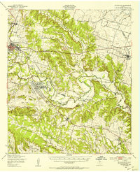
1950 · Gatesville
USGS Topo · 1:62,500

1954 · Waco
USGS Topo · 1:250,000
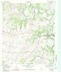
1954 · Gatesville West
USGS Topo · 1:24,000