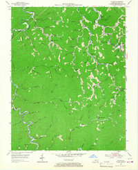
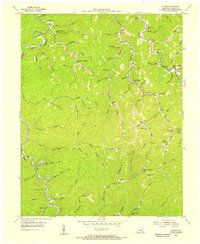
1954 Map of Cutshin
USGS Topo · Published 1967About this map
The Middle Fork Kentucky River and Greasy Creek define the deep mountain drainages of this Leslie County landscape during the mid-1950s. Small valley settlements like Cutshin, Garrison, and Chappell are linked by winding creek-side roads and numerous local schools that served these dispersed communities. The map reveals a high density of rural education centers, including the Lower Camp Creek Sch, Upper White Oak Sch, and Wolf Creek Sch, reflecting the logistical challenges of the terrain before modern school consolidation.
Find a feature on this map
74 named features on this map. Tap any name to fly to it.
Don’t see what you’re looking for? This feature index may not catch every label — zoom into the map to look around manually.
Map Details
Editions of this 1954 Cutshin Map
2 editions found
Other maps of this area

1887 · Jonesville
USGS Topo · 1:125,000

1891 · Hazard
USGS Topo · 1:125,000

1891 · Jonesville
USGS Topo · 1:125,000

1903 · Harlan
USGS Topo · 1:48,000

1916 · Cornettsville
USGS Topo · 1:62,500

1916 · Harlan
USGS Topo · 1:48,000

1916 · Nolansburg
USGS Topo · 1:48,000

1916 · Hyden
USGS Topo · 1:48,000

1919 · Nolansburg
USGS Topo · 1:62,500

1919 · Hyden
USGS Topo · 1:62,500