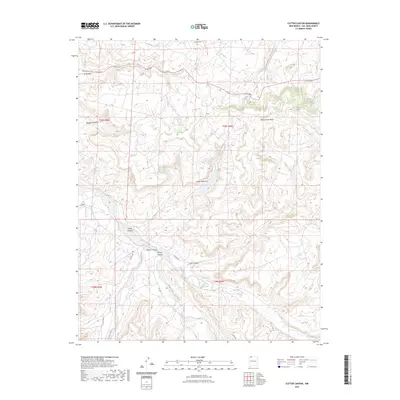
2023 Map of Cutter Canyon
USGS Topo · Published 2023About this map
Balthazar Peak rises above a landscape defined by deep drainages and high plateaus in this San Juan County region. The topography is dominated by the intersecting systems of Cutter Canyon, Blanco Canyon, and Carrizo Canyon, which funnel seasonal runoff toward the broader Blanco Wash. These canyons cut through the surrounding tablelands, most notably the expansive Manzanares Mesa and the geological formation at Cutter Lake Arch.
Find a feature on this map
23 named features on this map. Tap any name to fly to it.
Don’t see what you’re looking for? This feature index may not catch every label — zoom into the map to look around manually.
Map Details
Editions of this 2023 Cutter Canyon Map
This is the sole edition of this map. No revisions or reprints were ever made.
Other maps of this area

1889 · Largo
USGS Topo · 1:250,000

1895 · Largo
USGS Topo · 1:250,000

1954 · Pine River
USGS Topo · 1:24,000

1954 · Aztec
USGS Topo · 1:250,000

1958 · Aztec
USGS Topo · 1:250,000

1959 · Gould Pass
USGS Topo · 1:62,500

1959 · Aztec
USGS Topo · 1:62,500

1959 · Navajo Dam
USGS Topo · 1:62,500

1960 · Bloomfield
USGS Topo · 1:62,500

1962 · Aztec
USGS Topo · 1:250,000