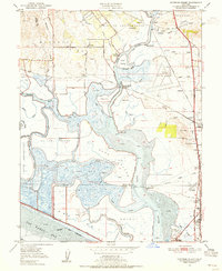
1949 Map of Cuttings Wharf
USGS Topo · Published 1956About this map
The Napa River dominates this mid-century landscape, winding through a complex network of wetlands and reclaimed islands such as Edgerley Island and Russ Island No 2. Settlement is concentrated along the riverbanks and rail corridors, featuring maritime landings like Cuttings Wharf and Dutton Landing (Brazos Sta). This area, where Napa County meets San Pablo Bay, shows a transition from agricultural grants like Rincon de los Carneros to industrial and residential expansion near Napa Junction. Early aviation is represented by Knights Airport and Vallejo Sky Harbor, reflecting post-war development patterns. Researchers will find a mix of rural schoolhouses, including Los Amigos Sch, alongside growing suburbs such as Chabot Terrace and Flosden Acres. The extensive sloughs, including China Slough and Mud Slough, illustrate the intricate hydrology of the northern bay before modern large-scale urbanization changed the shoreline.
Find a feature on this map
63 named features on this map. Tap any name to fly to it.
Don’t see what you’re looking for? This feature index may not catch every label — zoom into the map to look around manually.
Map Details
Editions of this 1949 Cuttings Wharf Map
8 editions found
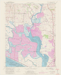
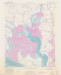
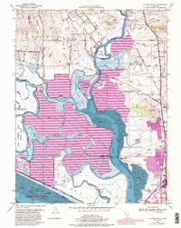
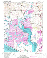
Other maps of this area

1896 · Carquinez Strait
USGS Topo · 1:62,500

1898 · Karquines
USGS Topo · 1:62,500

1901 · Karquines
USGS Topo · 1:62,500

1902 · Napa
USGS Topo · 1:125,000

1916 · Mare Island
USGS Topo · 1:62,500

1921 · Mt. Vaca
USGS Topo · 1:62,500

1940 · Carquinez Strait
USGS Topo · 1:62,500

1942 · Mare Island
USGS Topo · 1:62,500

1942 · Carquinez
USGS Topo · 1:62,500

1942 · Sonoma
USGS Topo · 1:62,500