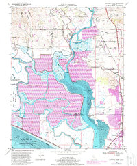
1949 Map of Cuttings Wharf
USGS Topo · Published 1988About this map
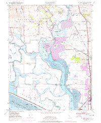
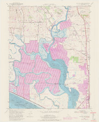
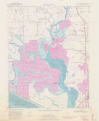
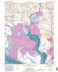
The Napa River dominates this mid-century landscape, winding south through complex marshes and islands toward San Pablo Bay. The river is flanked by extensive salt evaporators and islands such as Edgerley Island and Coon Island, reflecting an era of active industrial salt production and tidal land management. Near the historic crossing at Suscol, the terrain shifts toward the rolling hills of the Rincon De Los Carneros and Huichica land grants, where legacy ranching and farming roads like Buchli Station Road and Ramal Road define the rural character.
Find a feature on this map
63 named features on this map. Tap any name to fly to it.
Don’t see what you’re looking for? This feature index may not catch every label — zoom into the map to look around manually.
Map Details
Editions of this 1949 Cuttings Wharf Map
8 editions found
Other maps of this area

1896 · Carquinez Strait
USGS Topo · 1:62,500

1898 · Karquines
USGS Topo · 1:62,500

1901 · Karquines
USGS Topo · 1:62,500

1902 · Napa
USGS Topo · 1:125,000

1916 · Mare Island
USGS Topo · 1:62,500

1921 · Mt. Vaca
USGS Topo · 1:62,500

1940 · Carquinez Strait
USGS Topo · 1:62,500

1942 · Mare Island
USGS Topo · 1:62,500

1942 · Carquinez
USGS Topo · 1:62,500

1942 · Sonoma
USGS Topo · 1:62,500