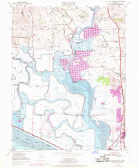
1949 Map of Cuttings Wharf
USGS Topo · Published 1969About this map
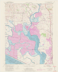
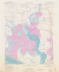
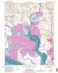
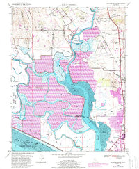
Napa River marshes and the northern reaches of San Pablo Bay define this landscape, where early river landings and 20th-century aviation meet. The geography is dominated by a complex network of sloughs and islands, including Knight Island and Russ Island, separated by the deep channels of the Napa Slough and Dutchman Slough. Along the riverbanks, historic points like Cuttings Wharf and Dutton Landing illustrate the era of water-borne commerce and local transit before modern highway expansion.
Find a feature on this map
66 named features on this map. Tap any name to fly to it.
Don’t see what you’re looking for? This feature index may not catch every label — zoom into the map to look around manually.
Map Details
Editions of this 1949 Cuttings Wharf Map
8 editions found
Other maps of this area

1896 · Carquinez Strait
USGS Topo · 1:62,500

1898 · Karquines
USGS Topo · 1:62,500

1901 · Karquines
USGS Topo · 1:62,500

1902 · Napa
USGS Topo · 1:125,000

1916 · Mare Island
USGS Topo · 1:62,500

1921 · Mt. Vaca
USGS Topo · 1:62,500

1940 · Carquinez Strait
USGS Topo · 1:62,500

1942 · Mare Island
USGS Topo · 1:62,500

1942 · Carquinez
USGS Topo · 1:62,500

1942 · Sonoma
USGS Topo · 1:62,500