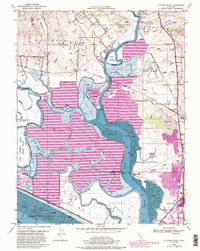
1949 Map of Cuttings Wharf
USGS Topo · Published 1988About this map
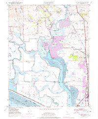
Napa River marshes and salt evaporators dominate this landscape at the northern edge of the San Pablo Bay. The survey illustrates a complex network of tidewater channels, including Steamboat Slough and China Slough, which weave around substantial land masses like Edgerley Island and Coon Island. This era captures the region's transition into a mix of aviation, maritime industry, and residential growth, most notably seen at the Napa County Airport and the expanding northern edge of Vallejo.
Find a feature on this map
64 named features on this map. Tap any name to fly to it.
Don’t see what you’re looking for? This feature index may not catch every label — zoom into the map to look around manually.
Map Details
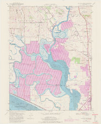
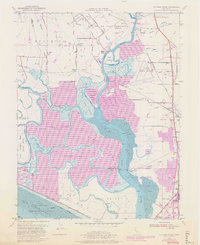
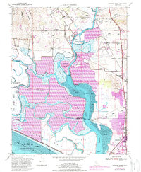
Editions of this 1949 Cuttings Wharf Map
8 editions found
Other maps of this area

1896 · Carquinez Strait
USGS Topo · 1:62,500

1898 · Karquines
USGS Topo · 1:62,500

1901 · Karquines
USGS Topo · 1:62,500

1902 · Napa
USGS Topo · 1:125,000

1916 · Mare Island
USGS Topo · 1:62,500

1921 · Mt. Vaca
USGS Topo · 1:62,500

1940 · Carquinez Strait
USGS Topo · 1:62,500

1942 · Mare Island
USGS Topo · 1:62,500

1942 · Carquinez
USGS Topo · 1:62,500

1942 · Sonoma
USGS Topo · 1:62,500