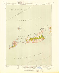
1951 Map of Cuttyhunk
USGS Topo · Published 1951About this map
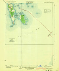
The Elizabeth Islands separate the waters of Buzzards Bay from Vineyard Sound in this early 1950s survey. The small settlement of Cuttyhunk sits at the eastern end of Cuttyhunk Island, overlooking the protected waters of Cuttyhunk Harbor and the narrow Canapitsit Channel that divides it from the larger Nashawena Island. This map documents a coastal landscape defined by isolated homesteads and maritime infrastructure, including the C G Sta and several interior water bodies like Gosnold Pond and Middle Pond. To the northeast, the smaller Penikese Island and Gull I stand apart from the main chain. The topography reveals the varied elevations of the islands, from the low-lying Copicut Neck to the high point of Saddleback Hill, providing a clear view of the island chain before significant modern development altered these remote outposts of Dukes County.
Find a feature on this map
29 named features on this map. Tap any name to fly to it.
Don’t see what you’re looking for? This feature index may not catch every label — zoom into the map to look around manually.
Map Details
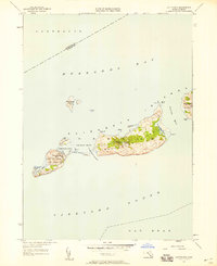
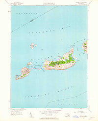
Editions of this 1951 Cuttyhunk Map
3 editions found
Other maps of this area

1885 · New Bedford
USGS Topo · 1:62,500

1887 · Gay Head
USGS Topo · 1:62,500

1888 · New Bedford
USGS Topo · 1:62,500

1889 · Gay Head
USGS Topo · 1:62,500

1893 · Gay Head
USGS Topo · 1:62,500

1893 · New Bedford
USGS Topo · 1:62,500

1918 · New Bedford
USGS Topo · 1:62,500
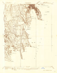
1936 · South Dartmouth
USGS Topo · 1:24,000
1940 · Sconticut Neck
USGS Topo · 1:31,680
1941 · New Bedford South
USGS Topo · 1:31,680