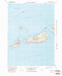
1972 Map of Cuttyhunk
USGS Topo · Published 1984About this map
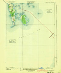
Elizabeth Islands separate the waters of Buzzards Bay from Vineyard Sound, centered on the small village of Cuttyhunk. This maritime landscape is defined by the narrow Canapitsit Channel and the larger Quicks Hole passage, which dictate the movement of vessels between the sounds. On Cuttyhunk Island, the concentrated settlement near the Cuttyhunk Pond and the presence of a Cem and Lighthouse at Gosnold reflect the deep-rooted isolation and self-sufficiency of this island community.
Find a feature on this map
38 named features on this map. Tap any name to fly to it.
Don’t see what you’re looking for? This feature index may not catch every label — zoom into the map to look around manually.
Map Details
Editions of this 1972 Cuttyhunk Map
3 editions found
Other maps of this area

1885 · New Bedford
USGS Topo · 1:62,500

1887 · Gay Head
USGS Topo · 1:62,500

1888 · New Bedford
USGS Topo · 1:62,500

1889 · Gay Head
USGS Topo · 1:62,500

1893 · Gay Head
USGS Topo · 1:62,500

1893 · New Bedford
USGS Topo · 1:62,500

1918 · New Bedford
USGS Topo · 1:62,500
1936 · South Dartmouth
USGS Topo · 1:24,000
1940 · Sconticut Neck
USGS Topo · 1:31,680
1941 · New Bedford South
USGS Topo · 1:31,680