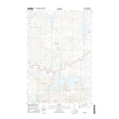
2016 Map of Cuyuna
USGS Topo · Published 2016About this map
Cuyuna serves as the primary settlement center in this lake-dense region of Crow Wing County, where the southern reaches of the Mississippi River weave through a complex landscape of glacial basins and wetlands. The settlement's layout, centered around Main St and Foley St, is inextricably linked to the surrounding waters, with Rabbit Lake and the smaller Lake Cuyuna anchoring the immediate area. The terrain is a network of interconnected water bodies, from the northern Perry Lake down to the sprawling Menomin Lake at the southern boundary.
Find a feature on this map
65 named features on this map. Tap any name to fly to it.
Don’t see what you’re looking for? This feature index may not catch every label — zoom into the map to look around manually.
Map Details
Editions of this 2016 Cuyuna Map
This is the sole edition of this map. No revisions or reprints were ever made.
Other maps of this area

1912 · Deerwood
USGS Topo · 1:62,500

1913 · Cuyuna
USGS Topo · 1:62,500

1914 · Deerwood
USGS Topo · 1:62,500

1915 · Cuyuna
USGS Topo · 1:62,500

1915 · Brainerd
USGS Topo · 1:62,500

1918 · Brainerd
USGS Topo · 1:62,500

1953 · Duluth
USGS Topo · 1:250,000

1953 · Brainerd
USGS Topo · 1:250,000

1957 · Brainerd
USGS Topo · 1:250,000

1958 · Brainerd
USGS Topo · 1:250,000