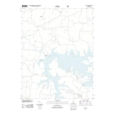
2011 Map of Cuzco
USGS Topo · Published 2011About this map
Patoka Lake dominates this portion of Dubois County, its sprawling shoreline creating a complex landscape of coves and inlets following the 20th-century damming of the Patoka River. The village of Ellsworth sits near the Patoka Lake Dam, serving as a gateway to the recreational waters and the E Lick Fork Marina. Further north, the terrain transitions into a series of elevated landmarks such as Persimmon Ridge and Lost Ridge, which hem in the drainage basins of Dillon Creek and Cane Creek.
Find a feature on this map
25 named features on this map. Tap any name to fly to it.
Don’t see what you’re looking for? This feature index may not catch every label — zoom into the map to look around manually.
Map Details
Editions of this 2011 Cuzco Map
This is the sole edition of this map. No revisions or reprints were ever made.
Other maps of this area

1951 · Hillham
USGS Topo · 1:24,000

1951 · French Lick
USGS Topo · 1:24,000

1954 · Dubois
USGS Topo · 1:24,000

1955 · Saint Anthony
USGS Topo · 1:24,000

1956 · Greenbrier
USGS Topo · 1:24,000

1956 · Taswell
USGS Topo · 1:24,000

1956 · Rusk
USGS Topo · 1:24,000

1956 · Vincennes
USGS Topo · 1:250,000

1957 · Vincennes
USGS Topo · 1:250,000

1957 · Cuzco
USGS Topo · 1:24,000