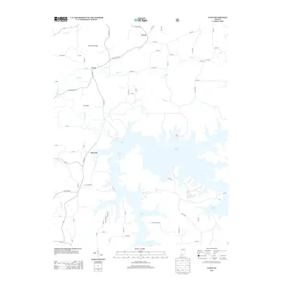
2013 Map of Cuzco
USGS Topo · Published 2013About this map
Patoka Lake dominates the southern half of this landscape, its complex, branching shoreline reaching into the valleys of the Patoka River and its many tributaries. In the northern uplands, the settlement of Cuzco sits near the crossing of Dillon Cr, north of the elevated terrain at Persimmon Ridge. The geography is defined by a transition from these higher ridges and small farming communities like Norton and Ellsworth to the extensive reservoir system that has fundamentally altered the local drainage patterns. Researchers will find a detailed network of county roads, such as E Cuzco Norton Rd and W Creek 525 S, which connect these small settlements across a landscape of sharp relief, where Lost Ridge stands between the northern creeks and the northernmost fingers of the lake.
Find a feature on this map
65 named features on this map. Tap any name to fly to it.
Don’t see what you’re looking for? This feature index may not catch every label — zoom into the map to look around manually.
Map Details
Editions of this 2013 Cuzco Map
This is the sole edition of this map. No revisions or reprints were ever made.
Other maps of this area

1951 · Hillham
USGS Topo · 1:24,000

1951 · French Lick
USGS Topo · 1:24,000

1954 · Dubois
USGS Topo · 1:24,000

1955 · Saint Anthony
USGS Topo · 1:24,000

1956 · Greenbrier
USGS Topo · 1:24,000

1956 · Taswell
USGS Topo · 1:24,000

1956 · Rusk
USGS Topo · 1:24,000

1956 · Vincennes
USGS Topo · 1:250,000

1957 · Vincennes
USGS Topo · 1:250,000

1957 · Cuzco
USGS Topo · 1:24,000