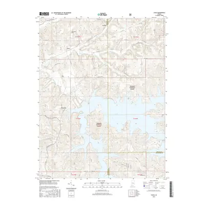
2016 Map of Cuzco
USGS Topo · Published 2016About this map
Patoka Lake dominates the southern half of this landscape, its intricate, branching fingers reaching into the valleys of the Hoosier National Forest. This modern survey illustrates the dramatic contrast between the high, wooded terrain of Persimmon Ridge and the lower basin defined by the impounded Patoka River. The settlement of Cuzco sits in the northern portion of the map, situated near the confluence of Dillon Cr and Cane Cr, while the village of Ellsworth occupies a position just west of the lake's northern reaches.
Find a feature on this map
69 named features on this map. Tap any name to fly to it.
Don’t see what you’re looking for? This feature index may not catch every label — zoom into the map to look around manually.
Map Details
Editions of this 2016 Cuzco Map
This is the sole edition of this map. No revisions or reprints were ever made.
Other maps of this area

1951 · Hillham
USGS Topo · 1:24,000

1951 · French Lick
USGS Topo · 1:24,000

1954 · Dubois
USGS Topo · 1:24,000

1955 · Saint Anthony
USGS Topo · 1:24,000

1956 · Greenbrier
USGS Topo · 1:24,000

1956 · Taswell
USGS Topo · 1:24,000

1956 · Rusk
USGS Topo · 1:24,000

1956 · Vincennes
USGS Topo · 1:250,000

1957 · Vincennes
USGS Topo · 1:250,000

1957 · Cuzco
USGS Topo · 1:24,000