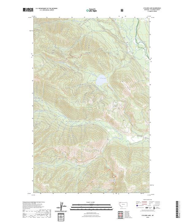
2024 Map of Cyclone Lake
USGS Topo · Published 2024About this map
The Whitefish Range defines this high-elevation landscape within the Flathead National Forest, where steep ridges and deep drainages form a complex watershed for the North Fork Flathead River. High points like Cyclone Peak and Coal Ridge separate the various creek systems, including Moran Creek and the meandering Hay Creek. The area is characterized by its remote alpine lakes, most notably Cyclone Lake and the southern Elelehum Lake.
Find a feature on this map
30 named features on this map. Tap any name to fly to it.
Don’t see what you’re looking for? This feature index may not catch every label — zoom into the map to look around manually.
Map Details
Editions of this 2024 Cyclone Lake Map
This is the sole edition of this map. No revisions or reprints were ever made.
Other maps of this area

1906 · Kintla Lakes
USGS Topo · 1:125,000

1938 · Kintla Lakes
USGS Topo · 1:125,000

1957 · Kalispell
USGS Topo · 1:250,000

1960 · Kalispell
USGS Topo · 1:250,000

1961 · Kalispell
USGS Topo · 1:250,000
1966 · Demers Ridge
USGS Topo · 1:24,000
1966 · Huckleberry Mountain
USGS Topo · 1:24,000
1966 · Skookoleel Creek
USGS Topo · 1:24,000
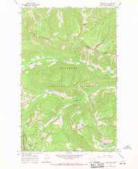
1966 · Moose Peak
USGS Topo · 1:24,000
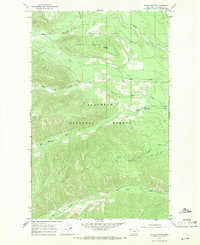
1966 · Whale Buttes
USGS Topo · 1:24,000