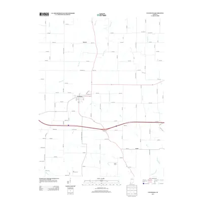
2013 Map of Cynthiana
USGS Topo · Published 2013About this map
Cynthiana stands at the heart of this southwestern Indiana landscape, where the grid-like organization of agricultural life meets the meandering courses of the Black River and Big Cr. The 2013 survey illustrates a deeply rooted farming community, anchored by landmarks such as Blythe Chapel and the small settlements of Nisbet and Mounts. Local industry and heritage are evident in names like Clay Hill Jersey Farm and the presence of Hepler Airport, while the road network preserves historical land use through labels like Coal Mine Rd and Antioch Church Rd.
Find a feature on this map
90 named features on this map. Tap any name to fly to it.
Don’t see what you’re looking for? This feature index may not catch every label — zoom into the map to look around manually.
Map Details
Editions of this 2013 Cynthiana Map
This is the sole edition of this map. No revisions or reprints were ever made.
Other maps of this area

1901 · Princeton
USGS Topo · 1:62,500

1901 · Haubstadt
USGS Topo · 1:62,500

1903 · Haubstadt
USGS Topo · 1:62,500

1903 · New Harmony
USGS Topo · 1:62,500

1903 · Princeton
USGS Topo · 1:62,500

1903 · Patoka
USGS Topo · 1:125,000

1904 · Mount Carmel
USGS Topo · 1:62,500

1938 · New Harmony
USGS Topo · 1:62,500

1956 · Vincennes
USGS Topo · 1:250,000

1957 · Vincennes
USGS Topo · 1:250,000