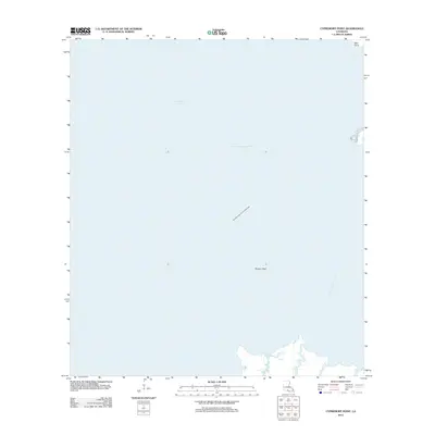
2012 Map of Cypremort Point
USGS Topo · Published 2012About this map
Vermilion Bay dominates this coastal survey, serving as a vital intersection of natural geography and Louisiana's industrial energy sector. The vast waters are marked by the Vermilion Bay Oil and Gas Field, highlighting the region's reliance on offshore extraction during the early 21st century. Navigational infrastructure is represented by the Acadiana Navigation Channel, which cuts through the bay to facilitate maritime traffic between these interior waters and the Gulf.
Find a feature on this map
6 named features on this map. Tap any name to fly to it.
Don’t see what you’re looking for? This feature index may not catch every label — zoom into the map to look around manually.
Map Details
Editions of this 2012 Cypremort Point Map
This is the sole edition of this map. No revisions or reprints were ever made.
Other maps of this area

1932 · Bayou Blanc
USGS Topo · 1:31,680

1932 · Abbeville SE
USGS Topo · 1:31,680

1937 · Derouen
USGS Topo · 1:62,500

1945 · New Orleans
USGS Topo · 1:250,000

1946 · Redfish Point NE
USGS Topo · 1:31,680

1946 · Redfish Point SE
USGS Topo · 1:31,680
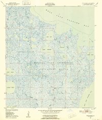
1948 · Bayou Blanc
USGS Topo · 1:24,000

1948 · Cypremort Point
USGS Topo · 1:24,000

1949 · Cypremort Pt
USGS Topo · 1:31,680

1949 · Bayou Lucien
USGS Topo · 1:31,680