
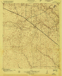
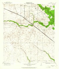
1915 Map of Cypress
USGS Topo · Published 1915About this map
Big Cypress Creek and Little Cypress Creek meander through this Harris County landscape, which shows a network of early roads and rural settlements just before the regional expansion of the Houston area. Several prominent travel routes converge here, including Washington Road and the Houston and Central Washington Road, illustrating the importance of overland connections for the local ranching and farming communities.
Find a feature on this map
13 named features on this map. Tap any name to fly to it.
Don’t see what you’re looking for? This feature index may not catch every label — zoom into the map to look around manually.
Map Details
Editions of this 1915 Cypress Map
3 editions found
Other maps of this area

1915 · Katy
USGS Topo · 1:24,000

1915 · Addicks
USGS Topo · 1:24,000

1915 · Hillendahl
USGS Topo · 1:24,000

1916 · Rose Hill
USGS Topo · 1:24,000

1916 · Louetta
USGS Topo · 1:24,000

1916 · Hockley
USGS Topo · 1:24,000

1916 · Satsuma
USGS Topo · 1:24,000

1916 · Swanson
USGS Topo · 1:24,000

1918 · Cypress
USGS Topo · 1:31,680

1918 · Addicks
USGS Topo · 1:31,680