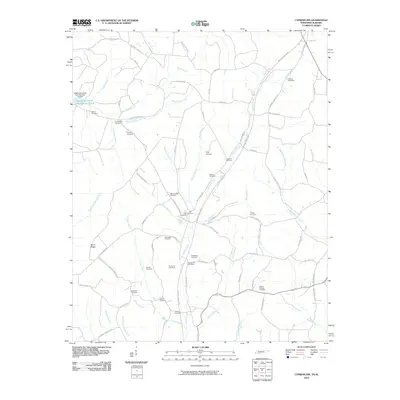
2010 Map of Cypress Inn
USGS Topo · Published 2010About this map
Cypress Creek and its many tributaries, including Middle Cypress Creek and North Fork Cypress Creek, dominate this rural landscape on the Tennessee-Alabama border. The 2010 environment is defined by a dense network of family-named roads and burial grounds that speak to generations of local residency. Genealogy researchers will find significant value in the numerous small cemeteries scattered throughout the terrain, such as the Old Hayes Cemetery, Old Darby Cemetery, and McAllister Cemetery.
Find a feature on this map
78 named features on this map. Tap any name to fly to it.
Don’t see what you’re looking for? This feature index may not catch every label — zoom into the map to look around manually.
Map Details
Editions of this 2010 Cypress Inn Map
This is the sole edition of this map. No revisions or reprints were ever made.
Other maps of this area

1905 · Waynesboro
USGS Topo · 1:125,000

1914 · Muscle Shoals
USGS Topo · 1:48,000

1916 · Muscle Shoals
USGS Topo · 1:62,500

1924 · Gravelly Springs
USGS Topo · 1:48,000

1926 · Gravelly Springs
USGS Topo · 1:62,500

1935 · Wright
USGS Topo · 1:24,000

1936 · Collinwood
USGS Topo · 1:24,000

1936 · Light
USGS Topo · 1:24,000

1936 · Threet
USGS Topo · 1:24,000

1936 · Cypress Inn
USGS Topo · 1:24,000