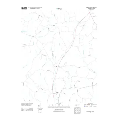
2013 Map of Cypress Inn
USGS Topo · Published 2013About this map
Cypress Inn and the settlement of Holt anchor this Tennessee-Alabama border region, defined by the winding paths of Cypress Cr and its numerous tributaries. The landscape is marked by topographic features like Bevis Ridge and a dense network of country roads named for local families, including Dave Rich Rd, J B Pigg Rd, and Richard Hortin Ln. This road network illustrates a pattern of rural Tennessee settlement where homes and small farmsteads are tucked between creek branches such as Holt Br and Dulin Br. In the northwest, the Weatherford-Bear Lake Number One B reservoir stands as a notable water body. The area's hydrological complexity is evident in the many named forks and branches, from the N Fork Cypress Cr in the south to the Middle Cypress Cr flowing toward the eastern edge.
Find a feature on this map
85 named features on this map. Tap any name to fly to it.
Don’t see what you’re looking for? This feature index may not catch every label — zoom into the map to look around manually.
Map Details
Editions of this 2013 Cypress Inn Map
This is the sole edition of this map. No revisions or reprints were ever made.
Other maps of this area

1905 · Waynesboro
USGS Topo · 1:125,000

1914 · Muscle Shoals
USGS Topo · 1:48,000

1916 · Muscle Shoals
USGS Topo · 1:62,500

1924 · Gravelly Springs
USGS Topo · 1:48,000

1926 · Gravelly Springs
USGS Topo · 1:62,500

1935 · Wright
USGS Topo · 1:24,000

1936 · Collinwood
USGS Topo · 1:24,000

1936 · Light
USGS Topo · 1:24,000

1936 · Threet
USGS Topo · 1:24,000

1936 · Cypress Inn
USGS Topo · 1:24,000