2022 Map of Cyrus
USGS Topo · Published 2022About this map
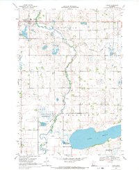
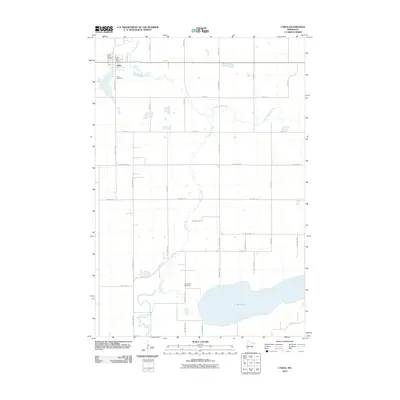
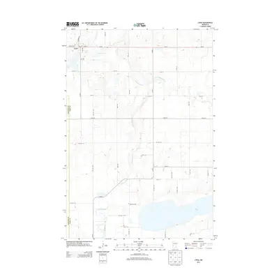
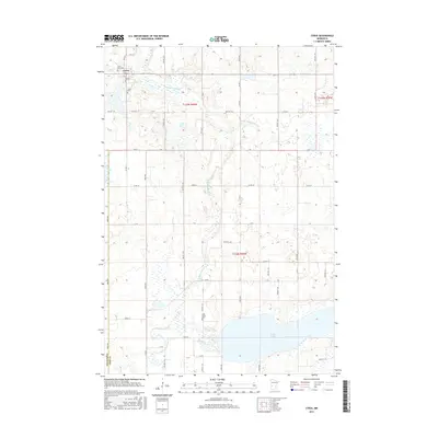
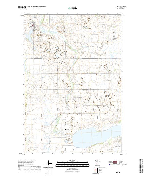
The small town of Cyrus serves as the focal point for this western Minnesota landscape where Pope and Stevens counties meet. The town site is clustered along Dahl St and 3rd St, adjacent to the meandering course of the Chippewa River. This area is defined by its glacial hydrology, featuring a dense network of wetlands and small water bodies that fed into the larger Lake Emily to the south. Historically significant sites for genealogists include the Saint Petri Cem and Cyrus Cem north of the river, as well as the Lake Emily Cem located near the lake's northern shore.
Find a feature on this map
53 named features on this map. Tap any name to fly to it.
Don’t see what you’re looking for? This feature index may not catch every label — zoom into the map to look around manually.
Map Details
Editions of this 2022 Cyrus Map
This is the sole edition of this map. No revisions or reprints were ever made.
Historical Maps of Cyrus Through Time
6 maps found